Transport Functions
Rail
Road
Hub Profile
Place type
Populated place
Region
Rhône-Alpes
Time zone
Europe/Paris
Elevation
904 m
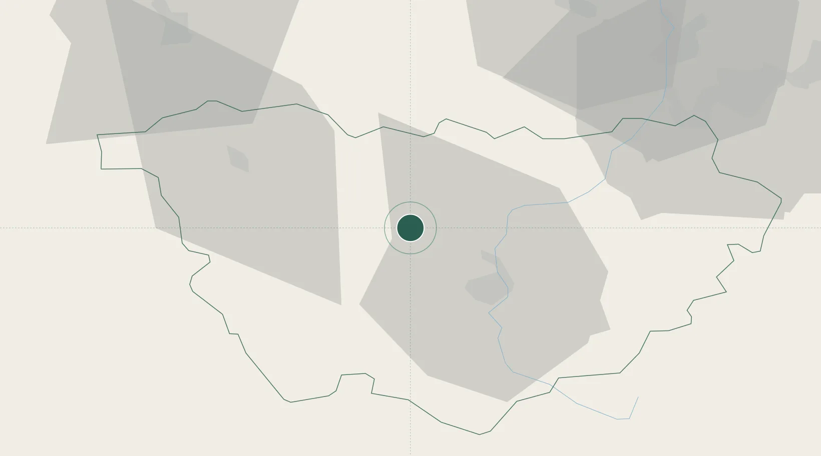
Location
Nearby Logistics Neighbours
Cities
- 1Vernassal3 km
- 2Polignac15 km
- 3Le Puy-en-Velay19 km
- 4Cenac22 km
- 5Chilhac22 km
Ports
- 1Sete197 km
- 2Fos215 km
- 3Port Saint Louis Du Rhone216 km
- 4Port-de-Bouc220 km
- 5Marseille243 km
Airports
Trade Zones
- 1ZFU Saint-Etienne53 km
- 2ZFU Clermont-Ferrand86 km
- 3ZFU Valence92 km
- 4ZFU Vénissieux105 km
- 5ZFU Lyon 9e108 km
DatabookThe Record of Consolidated Knowledge
France beyond logistics?