Transport Functions
Road
Multimodal
Hub Profile
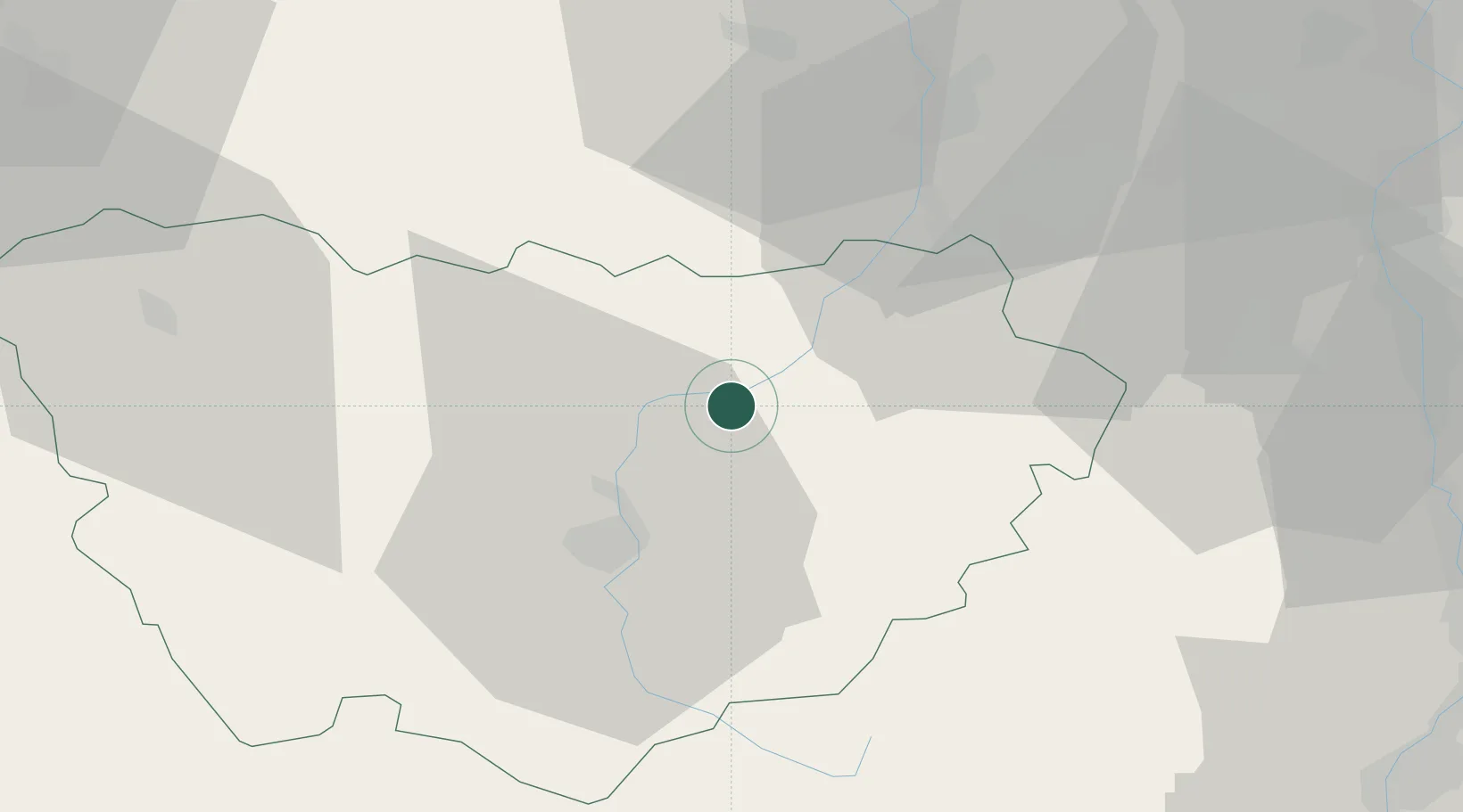
Place type
Populated place
Region
Rhône-Alpes
Population
2,588
Time zone
Europe/Paris
Elevation
543 m
Location
Nearby Logistics Neighbours
Cities
- 1Beauzac8 km
- 2Polignac20 km
- 3Le Puy-en-Velay22 km
- 4Saint-Didier-en-Velay23 km
- 5La Tourette23 km
Ports
- 1Sete202 km
- 2Fos210 km
- 3Port Saint Louis Du Rhone211 km
- 4Port-de-Bouc214 km
- 5Marseille235 km
Airports
Trade Zones
- 1ZFU Saint-Etienne32 km
- 2ZFU Valence71 km
- 3ZFU Vénissieux84 km
- 4ZFU Lyon 9e88 km
- 5ZFU Vaulx-en-Velin95 km
DatabookThe Record of Consolidated Knowledge
France beyond logistics?