Seaport · France
MarseilleFRMRS
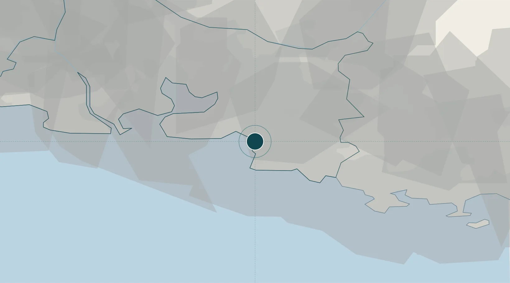
43.3167°, 5.3667°
12.5 m
Channel depth
3
Container terminals
79.0
Port liner connectivity
Channel & Berth Profile
Pilotage, Tugs & Services
Pilotage compulsoryYES
Pilotage advisableYES
Local assistanceYES
Tug assistanceYES
Salvage tugsYES
Shore powerYES
Potable waterYES
Diesel bunkersYES
MedicalYES
Facilities & Capabilities
Container—
Ro-Ro—
Liquid bulk—
Dry bulk—
Oil terminal—
Break bulk—
Dry dockNO
RepairsNO
BunkeringYES
Rail linkYES
Dangerous cargo—
ISPS security—
Harbour Specifications
Harbour size
Small
Harbour type
Coastal (Breakwater)
Shelter
Excellent
Water body
Gulf of Lion; Mediterranean Sea; North Atlantic Ocean
Overhead limit
Yes
Pilotage
Yes
Liner Connectivity
79
PLSCI
Port Liner Shipping Connectivity Index for Marseille, as published by UNCTAD for the latest available quarter. Higher values indicate stronger scheduled liner-shipping integration.
Shown relative to the highest per-port PLSCI in the dataset (1,657.9).
Location
Container Terminals · 3
MED EUROPE TERMINAL
MET INTRAMAR S.A
TERMINAL CAP PINEDE
TCP MARSEILLE MANUTENTION
TERMINAL ROULIER SUD
TRS MARSEILLE MANUTENTION
Nearby Logistics Neighbours
Ports
- 1Port-de-Bouc32 km
- 2Fos41 km
- 3Port Saint Louis Du Rhone45 km
- 4Toulon51 km
- 5Saint-Tropez103 km
Cities
- 1Simiane-Collongue12 km
- 2Le Rove13 km
- 3Gignac-la-Nerthe14 km
- 4Mimet16 km
- 5Carnoux-en-Provence18 km
Airports
Trade Zones
- 1ZFU Marseille 15e et 16e2 km
- 2ZFU Saint-Barthélémy, Le Canet, Delorme-Paternelle11 km
- 3ZFU La Seyne-sur-Mer47 km
- 4ZFU Toulon51 km
- 5ZFU Avignon84 km
DatabookThe Record of Consolidated Knowledge
France beyond logistics?