Small airport · France

Le Puy-Loudes AirfieldLFHP
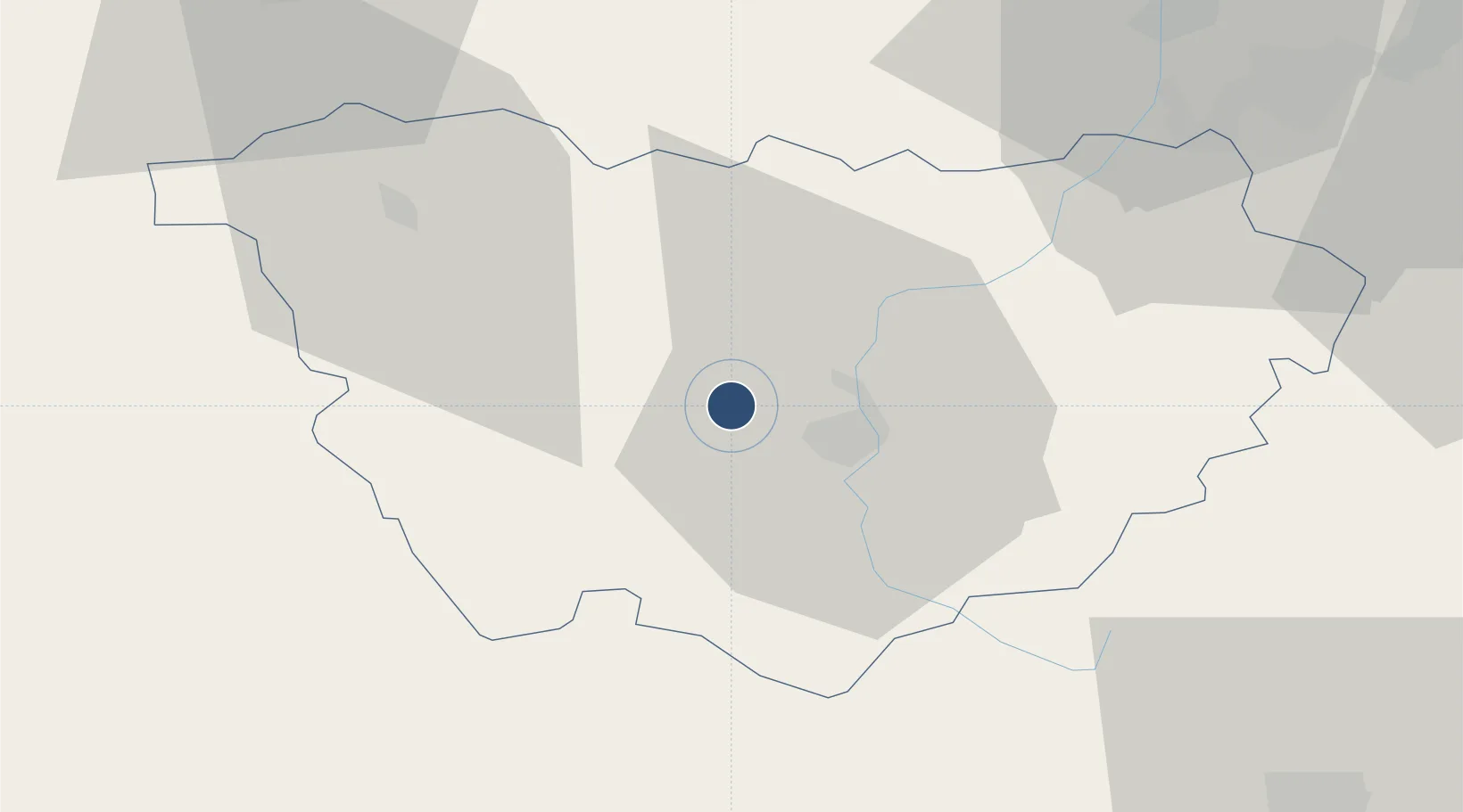
45.0807°, 3.7629°
4,570 ft
Longest runway
2
Runways
2,731 ft
Elevation

Runway & Layout

Le Puy-Loudes Airfield runway & taxiway layout
Runway & taxiway layout — OpenStreetMap (ODbL) / OurAirports

Radio Frequencies

INFO
118 MHz
LE PUY INFO
OurAirports

Runways · 2

RunwayDimensions SurfaceTrue headingLit
15/33 4,570 × 98ft Paved 151°
15R/33L 3,084 × 262ft Unpaved 151°
OurAirports

Airport Specifications

IATA code
LPY
OurAirports
ICAO code
LFHP
OurAirports
Airport class
Small airport
OurAirports
Scheduled service
Yes
OurAirports
Runway surface
Paved
OurAirports
Served city
Chaspuzac, Haute-Loire
OurAirports

Location

Location of LFHP
Natural Earth 10m (public domain) · Haute-Loire · LFHP · 45.08, 3.76GoogleOSMYandex

Nearby Logistics Neighbours

Airports
  1. 1Saint-Étienne-Bouthéon Airport66 km
  2. 2Mende-Brenoux Airfield67 km
  3. 3Aubenas-South Ardèche Airport77 km
  4. 4Clermont-Ferrand Auvergne airport91 km
  5. 5Valence-Chabeuil Airport97 km
Nearest neighbours — logibook spatial index (haversine) over the source coordinates
Cities
  1. 1Polignac8 km
  2. 2Vernassal9 km
  3. 3Céaux-d'Allègre10 km
  4. 4Le Puy-en-Velay11 km
  5. 5Monistrol-d'Allier16 km
Nearest neighbours — logibook spatial index (haversine) over the source coordinates
Ports
  1. 1Sete187 km
  2. 2Fos205 km
  3. 3Port Saint Louis Du Rhone207 km
  4. 4Port-de-Bouc211 km
  5. 5Marseille234 km
Nearest neighbours — logibook spatial index (haversine) over the source coordinates
Trade Zones
  1. 1ZFU Saint-Etienne57 km
  2. 2ZFU Valence87 km
  3. 3ZFU Clermont-Ferrand95 km
  4. 4ZFU Vénissieux109 km
  5. 5ZFU Lyon 9e112 km
Nearest neighbours — logibook spatial index (haversine) over the source coordinates
DatabookThe Record of Consolidated Knowledge
France beyond logistics?
Browse databook

All Sources

AirportsOurAirports
Public domain
Portsthe NGA World Port Index
Public domain (US gov)
LocationsUN/LOCODE
UN/LOCODE — free
Trade Zonesthe World Bank SEZ database
CC BY 4.0
Trade ZonesOpen Zone Map
CC BY
InfrastructureOpenStreetMap
ODbL 1.0
← France airports