Transport Functions
Rail
Road
Airport
Multimodal
Hub Profile
Place type
Provincial seat
Region
Rhône-Alpes
Population
22,718
Time zone
Europe/Paris
Elevation
640 m
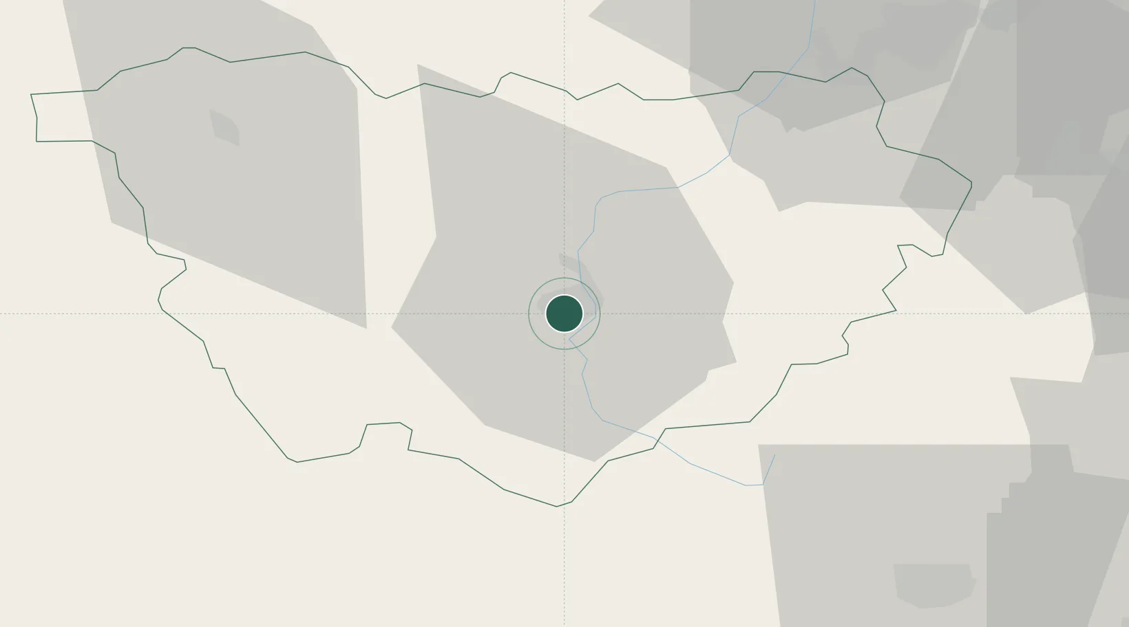
Location
Nearby Logistics Neighbours
Cities
- 1Polignac4 km
- 2Lantriac11 km
- 3Céaux-d'Allègre19 km
- 4Vernassal19 km
- 5Monistrol-d'Allier21 km
Ports
- 1Sete182 km
- 2Fos197 km
- 3Port Saint Louis Du Rhone198 km
- 4Port-de-Bouc202 km
- 5Marseille225 km
Airports
Trade Zones
- 1ZFU Saint-Etienne54 km
- 2ZFU Valence77 km
- 3ZFU Clermont-Ferrand105 km
- 4ZFU Vénissieux106 km
- 5ZFU Lyon 9e109 km
DatabookThe Record of Consolidated Knowledge
France beyond logistics?