Transport Functions
Multimodal
Hub Profile
Place type
Populated place
Region
Hauts-de-France
Population
3,048
Time zone
Europe/Paris
Elevation
32 m
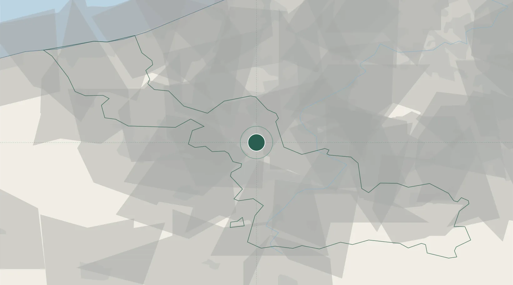
Location
Nearby Logistics Neighbours
Cities
- 1Sainghin-en-Mélantois3 km
- 2Lesquin4 km
- 3Templeuve4 km
- 4Mérignies6 km
- 5Ronchin6 km
Ports
- 1Nieuwpoort70 km
- 2Ghent71 km
- 3Bruges76 km
- 4Oostende78 km
- 5Dunkerque Port Est80 km
Airports
DatabookThe Record of Consolidated Knowledge
France beyond logistics?