Transport Functions
Multimodal
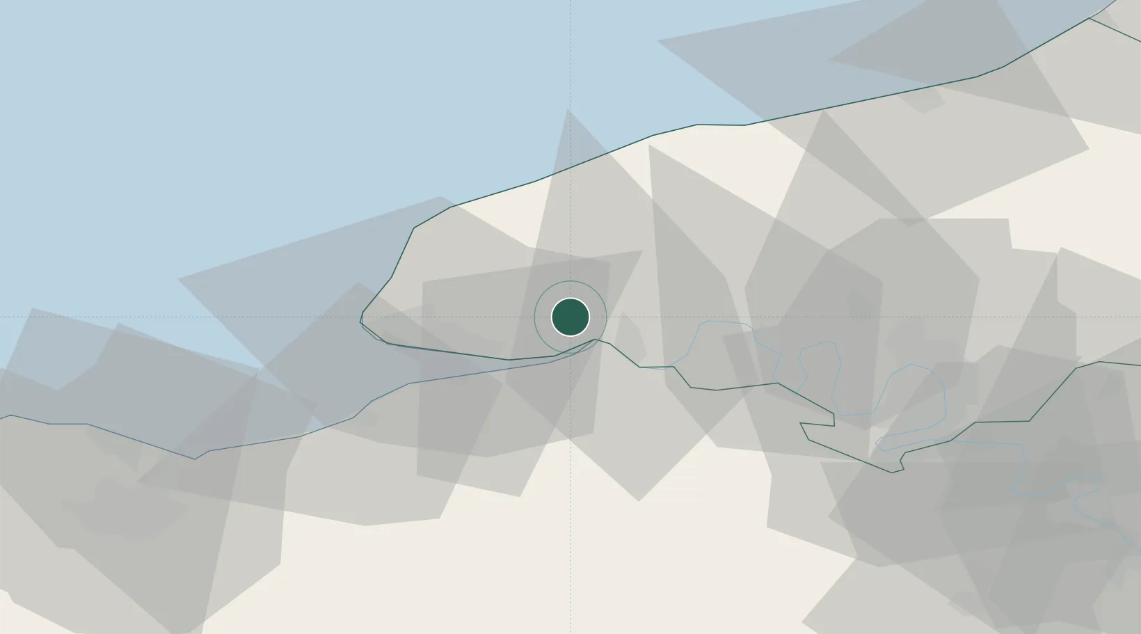
Hub Profile
Place type
Populated place
Region
Normandy
Population
759
Time zone
Europe/Paris
Elevation
123 m
Location
Nearby Logistics Neighbours
Cities
- 1La Remuée4 km
- 2La Cerlangue4 km
- 3Radicatel5 km
- 4Port-Jérôme10 km
- 5Notre-Dame-de-Gravenchon10 km
Ports
- 1Honfleur21 km
- 2Port Of Le Havre25 km
- 3Fecamp27 km
- 4Deauville32 km
- 5Port Of Rouen46 km
Airports
Trade Zones
- 1ZFU Le Havre24 km
- 2ZFU Rouen Bihorel47 km
- 3ZFU Hérouville-Saint-Clair69 km
- 4ZFU La Guérinière, La Grâce de Dieu73 km
- 5ZFU Évreux76 km
DatabookThe Record of Consolidated Knowledge
France beyond logistics?