Transport Functions
Port
Hub Profile
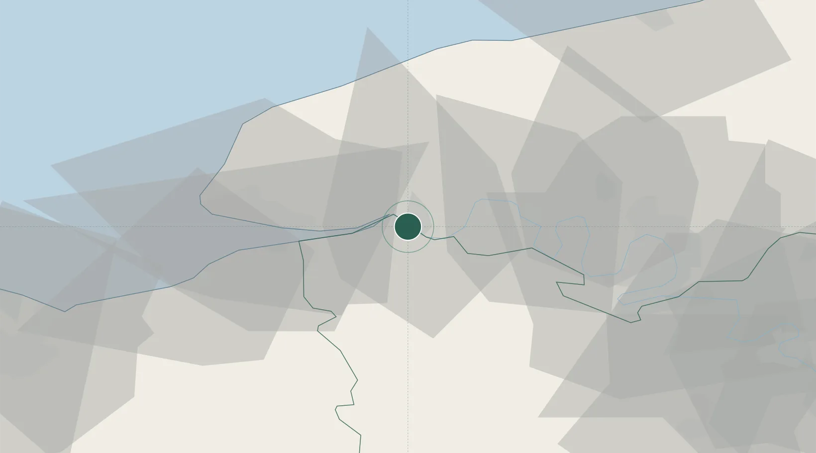
Place type
Populated place
Region
Normandy
Time zone
Europe/Paris
Elevation
4 m
Location
Nearby Logistics Neighbours
Cities
- 1Notre-Dame-de-Gravenchon3 km
- 2Radicatel4 km
- 3La Cerlangue9 km
- 4Mélamare10 km
- 5La Remuée12 km
Ports
- 1Honfleur24 km
- 2Port Of Le Havre30 km
- 3Deauville34 km
- 4Fecamp36 km
- 5Port Of Rouen39 km
Airports
Trade Zones
- 1ZFU Le Havre30 km
- 2ZFU Rouen Bihorel41 km
- 3ZFU Évreux66 km
- 4ZFU Hérouville-Saint-Clair70 km
- 5ZFU La Guérinière, La Grâce de Dieu75 km
DatabookThe Record of Consolidated Knowledge
France beyond logistics?