Transport Functions
Multimodal
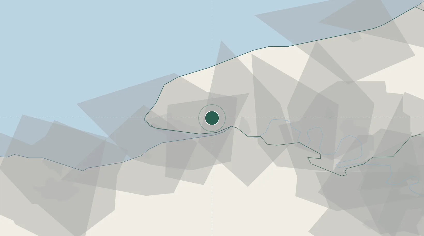
Hub Profile
Place type
Populated place
Region
Normandy
Population
1,207
Time zone
Europe/Paris
Elevation
127 m
Location
Nearby Logistics Neighbours
Cities
- 1Mélamare4 km
- 2La Cerlangue4 km
- 3Étainhus7 km
- 4Radicatel8 km
- 5Berville-sur-Mer11 km
Ports
- 1Honfleur19 km
- 2Port Of Le Havre21 km
- 3Fecamp26 km
- 4Deauville30 km
- 5Port Of Rouen49 km
Airports
Trade Zones
- 1ZFU Le Havre21 km
- 2ZFU Rouen Bihorel51 km
- 3ZFU Hérouville-Saint-Clair66 km
- 4ZFU La Guérinière, La Grâce de Dieu70 km
- 5ZFU Évreux78 km
DatabookThe Record of Consolidated Knowledge
France beyond logistics?