Transport Functions
Multimodal
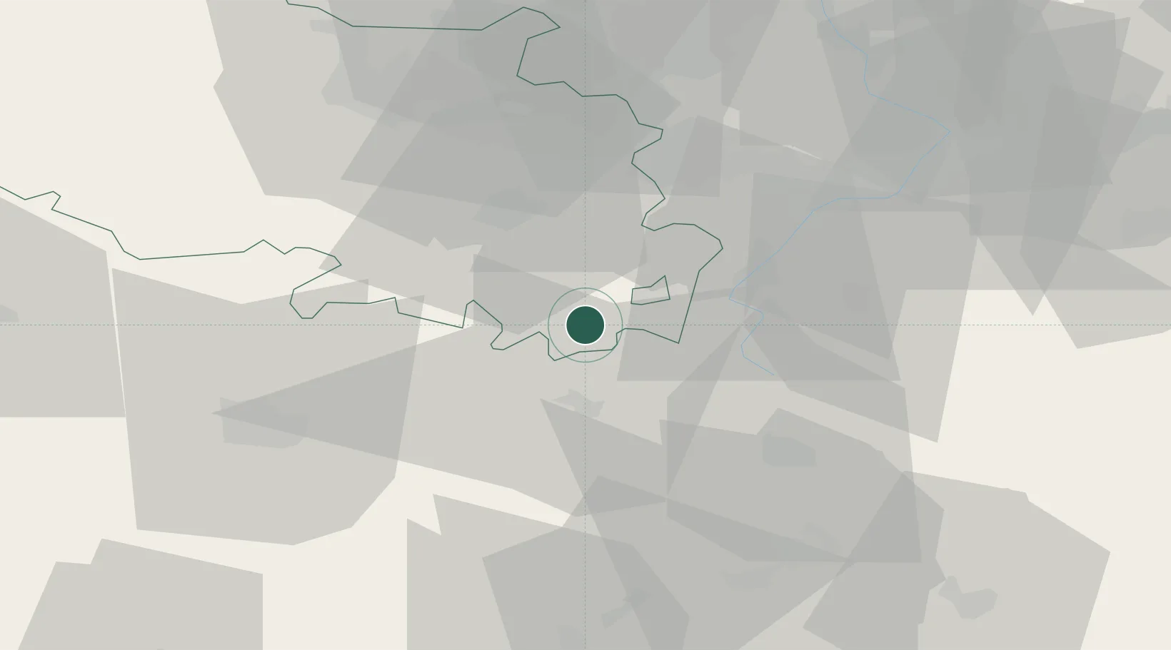
Hub Profile
Place type
Populated place
Region
Hauts-de-France
Population
203
Time zone
Europe/Paris
Elevation
125 m
Location
Nearby Logistics Neighbours
Cities
- 1Sailly-Saillisel6 km
- 2Évin-Malmaison6 km
- 3Rancourt9 km
- 4Achiet-le-Grand11 km
- 5Moislains12 km
Ports
- 1Saint-Valery-Sur-Somme93 km
- 2Le Treport111 km
- 3Dunkerque Port Est116 km
- 4Gravelines117 km
- 5Nieuwpoort117 km
Airports
- 1Péronne Saint-Quentin Airfield25 km
- 2Amiens Glisy Airfield45 km
- 3Valenciennes-Denain Airfield47 km
- 4Lille Airport55 km
- 5Merville-Calonne Airport63 km
DatabookThe Record of Consolidated Knowledge
France beyond logistics?