Transport Functions
Multimodal
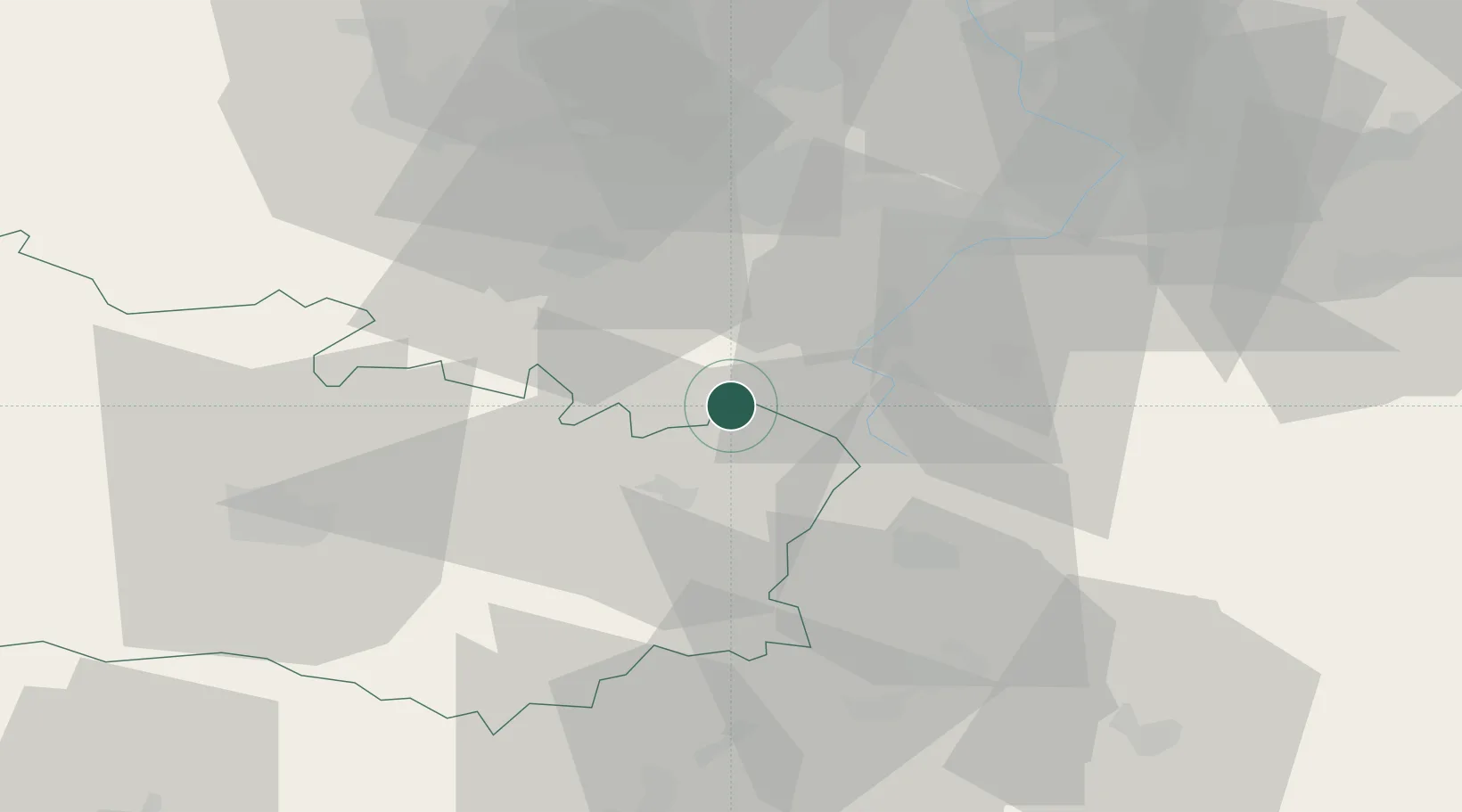
Hub Profile
Place type
Populated place
Region
Hauts-de-France
Population
4,805
Time zone
Europe/Paris
Elevation
25 m
Location
Nearby Logistics Neighbours
Cities
- 1Villers-au-Flos6 km
- 2Sailly-Saillisel7 km
- 3Gouzeaucourt9 km
- 4Rancourt10 km
- 5Moislains10 km
Ports
- 1Saint-Valery-Sur-Somme100 km
- 2Le Treport117 km
- 3Nieuwpoort120 km
- 4Dunkerque Port Est120 km
- 5Gravelines121 km
Airports
- 1Péronne Saint-Quentin Airfield22 km
- 2Valenciennes-Denain Airfield44 km
- 3Amiens Glisy Airfield49 km
- 4Lille Airport56 km
- 5Merville-Calonne Airport66 km
Trade Zones
DatabookThe Record of Consolidated Knowledge
France beyond logistics?