Transport Functions
Multimodal
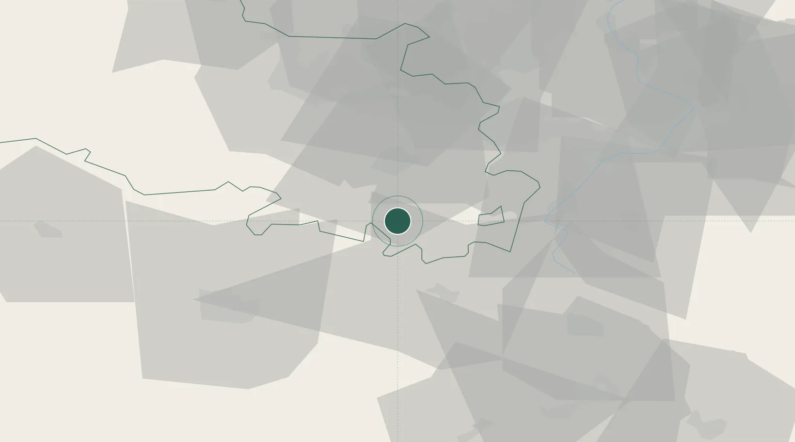
Hub Profile
Place type
Populated place
Region
Hauts-de-France
Population
1,031
Time zone
Europe/Paris
Elevation
120 m
Location
Nearby Logistics Neighbours
Cities
- 1Villers-au-Flos11 km
- 2Fontaine-lès-Croisilles13 km
- 3Sailly-Saillisel15 km
- 4Arras17 km
- 5Évin-Malmaison17 km
Ports
- 1Saint-Valery-Sur-Somme83 km
- 2Le Treport101 km
- 3Boulogne-Sur-Mer107 km
- 4Gravelines107 km
- 5Dunkerque Port Est108 km
Airports
- 1Péronne Saint-Quentin Airfield34 km
- 2Amiens Glisy Airfield41 km
- 3Valenciennes-Denain Airfield53 km
- 4Lille Airport53 km
- 5Merville-Calonne Airport55 km
DatabookThe Record of Consolidated Knowledge
France beyond logistics?