Transport Functions
Road
Multimodal
Hub Profile
Place type
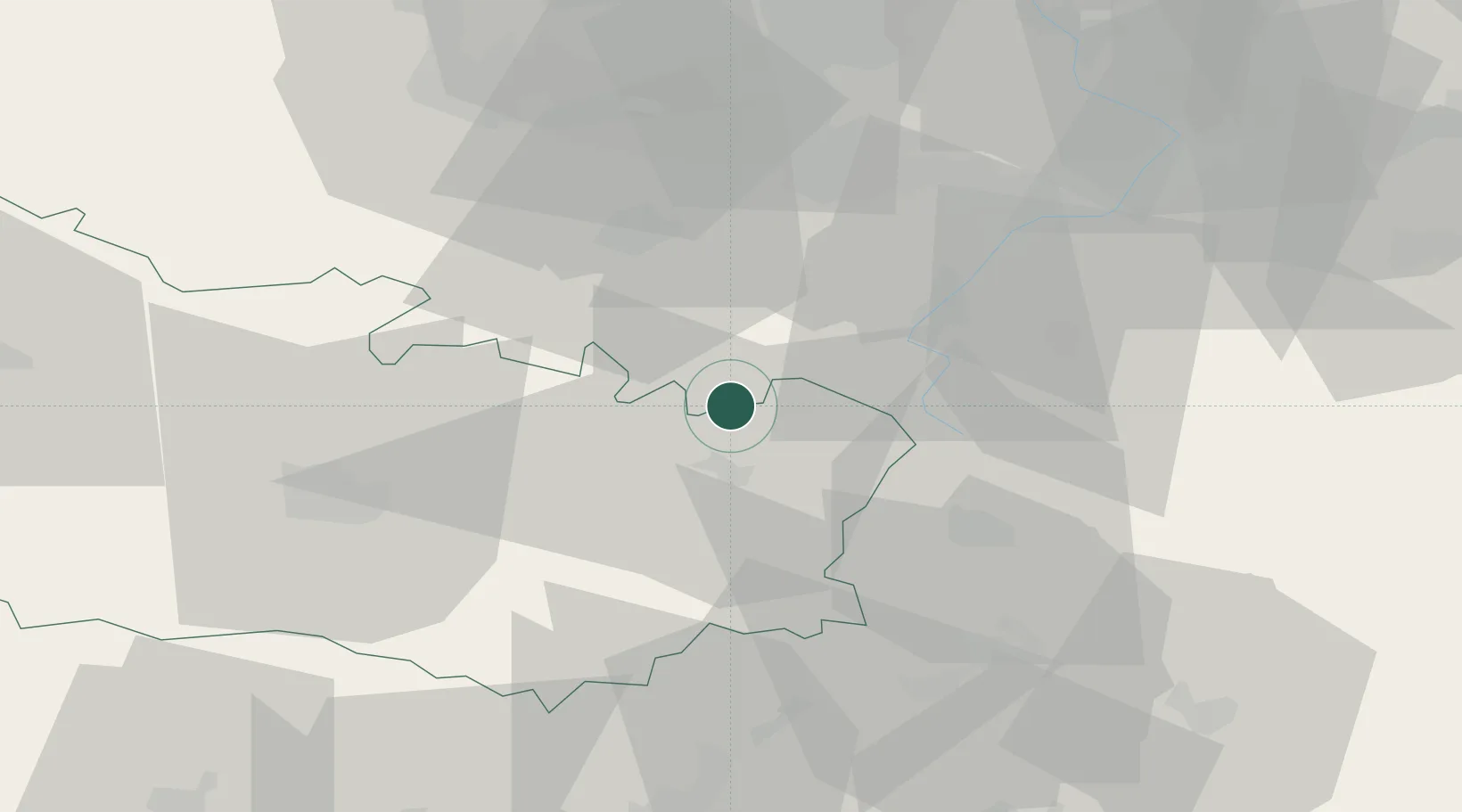
Populated place
Region
Hauts-de-France
Population
432
Time zone
Europe/Paris
Elevation
151 m
Location
Nearby Logistics Neighbours
Cities
- 1Rancourt4 km
- 2Villers-au-Flos6 km
- 3Moislains7 km
- 4Évin-Malmaison7 km
- 5Templeux-la-Fosse10 km
Ports
- 1Saint-Valery-Sur-Somme94 km
- 2Le Treport111 km
- 3Gravelines122 km
- 4Boulogne-Sur-Mer122 km
- 5Dunkerque Port Est122 km
Airports
- 1Péronne Saint-Quentin Airfield20 km
- 2Amiens Glisy Airfield42 km
- 3Valenciennes-Denain Airfield51 km
- 4Lille Airport61 km
- 5Merville-Calonne Airport68 km
DatabookThe Record of Consolidated Knowledge
France beyond logistics?