UN/LOCODE hub · France
FRBTY

Béthisy-Saint-Pierre
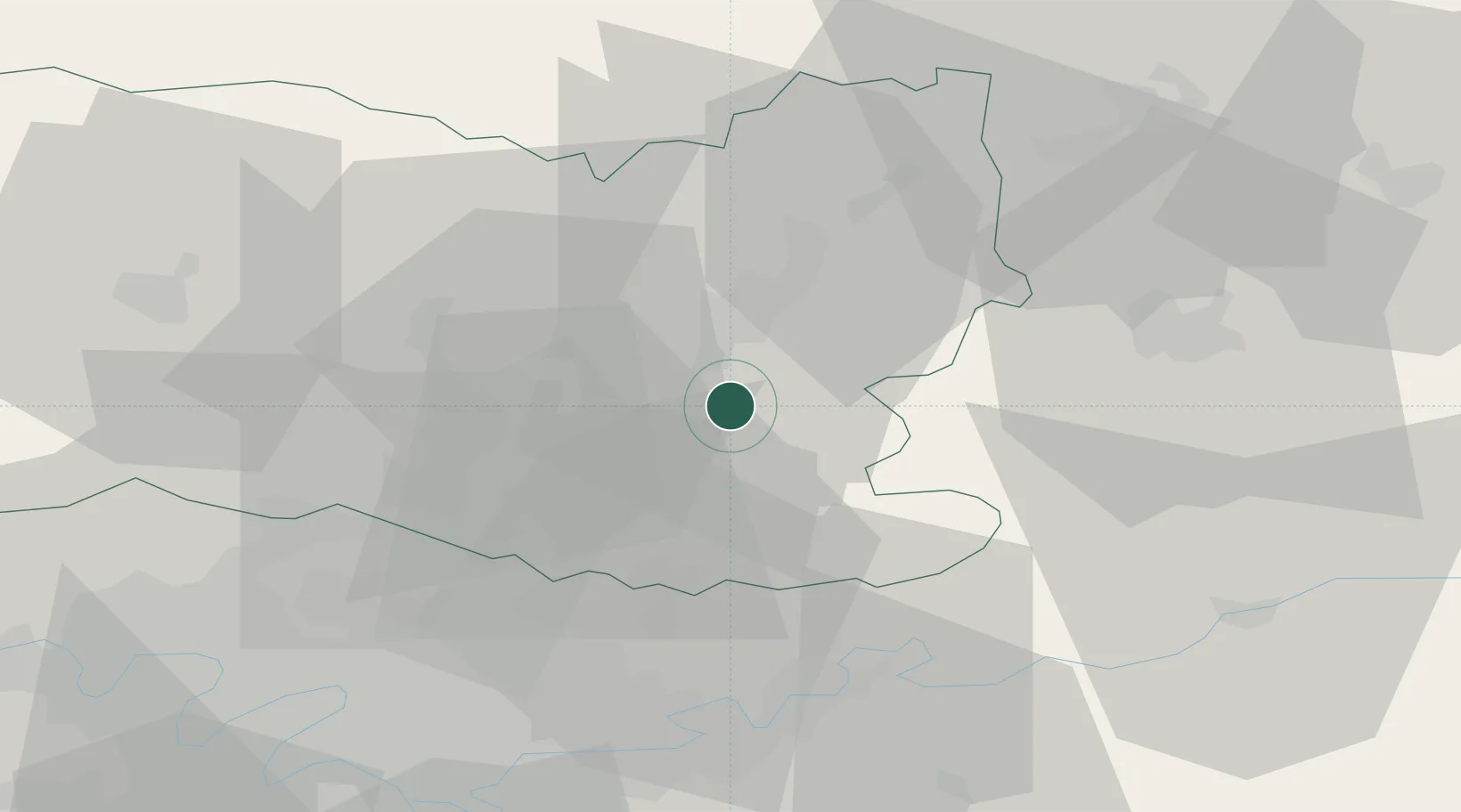
49.3000°, 2.8000°
3,272
Population
1
Transport functions

Transport Functions

Rail
UN/LOCODE

Hub Profile

Place type
Populated place
GeoNames
Region
Hauts-de-France
GeoNames
Population
3,272
GeoNames
Time zone
Europe/Paris
GeoNames
Elevation
64 m
GeoNames

Location

Location of FRBTY
Natural Earth 10m (public domain) · Hauts-de-France · FRBTY · 49.30, 2.80GoogleOSMYandex

Nearby Logistics Neighbours

Cities
  1. 1Rivecourt7 km
  2. 2Chevrières10 km
  3. 3Crépy-en-Valois10 km
  4. 4Compiègne13 km
  5. 5Pont-Sainte-Maxence15 km
Nearest neighbours — logibook spatial index (haversine) over the source coordinates
Ports
  1. 1Port Of Rouen127 km
  2. 2Saint-Valery-Sur-Somme130 km
  3. 3Le Treport134 km
  4. 4Dieppe142 km
  5. 5Boulogne-Sur-Mer181 km
Nearest neighbours — logibook spatial index (haversine) over the source coordinates
Airports
  1. 1Creil Air Base21 km
  2. 2Charles de Gaulle International Airport37 km
  3. 3Paris-Le Bourget International Airport46 km
  4. 4Beauvais-Tillé airport53 km
  5. 5Pontoise-Cormeilles Aerodrome60 km
Nearest neighbours — logibook spatial index (haversine) over the source coordinates
Trade Zones
  1. 1ZFU Creil et Montataire28 km
  2. 2ZFU Presles, Chevreux38 km
  3. 3ZFU Meaux39 km
  4. 4ZFU Villiers-le-Bel44 km
  5. 5ZFU Sevran45 km
Nearest neighbours — logibook spatial index (haversine) over the source coordinates
DatabookThe Record of Consolidated Knowledge
France beyond logistics?
Browse databook

All Sources

LocationsUN/LOCODE
UN/LOCODE — free
LocationsGeoNames
CC BY 4.0
Portsthe NGA World Port Index
Public domain (US gov)
AirportsOurAirports
Public domain
Trade Zonesthe World Bank SEZ database
CC BY 4.0
Trade ZonesOpen Zone Map
CC BY
← France locations