Transport Functions
Port
Rail
Road
Hub Profile
Place type
Populated place
Region
Hauts-de-France
Population
428
Time zone
Europe/Paris
Elevation
52 m
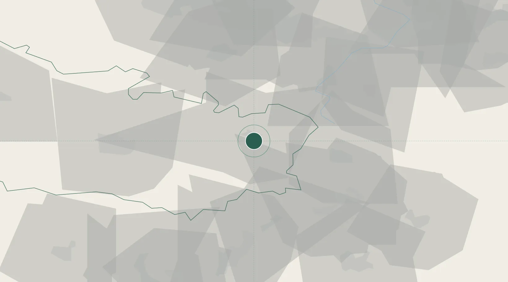
Location
Nearby Logistics Neighbours
Cities
- 1Flaucourt4 km
- 2Barleux4 km
- 3Feuillères7 km
- 4Berny-en-Santerre7 km
- 5Saint-Christ-Briost8 km
Ports
- 1Saint-Valery-Sur-Somme97 km
- 2Le Treport112 km
- 3Boulogne-Sur-Mer130 km
- 4Dieppe131 km
- 5Gravelines133 km
Airports
- 1Péronne Saint-Quentin Airfield10 km
- 2Amiens Glisy Airfield38 km
- 3Valenciennes-Denain Airfield60 km
- 4Lille Airport74 km
- 5Beauvais-Tillé airport77 km
DatabookThe Record of Consolidated Knowledge
France beyond logistics?