Transport Functions
Multimodal
Hub Profile
Place type
Populated place
Region
Brittany
Population
1,184
Time zone
Europe/Paris
Elevation
114 m
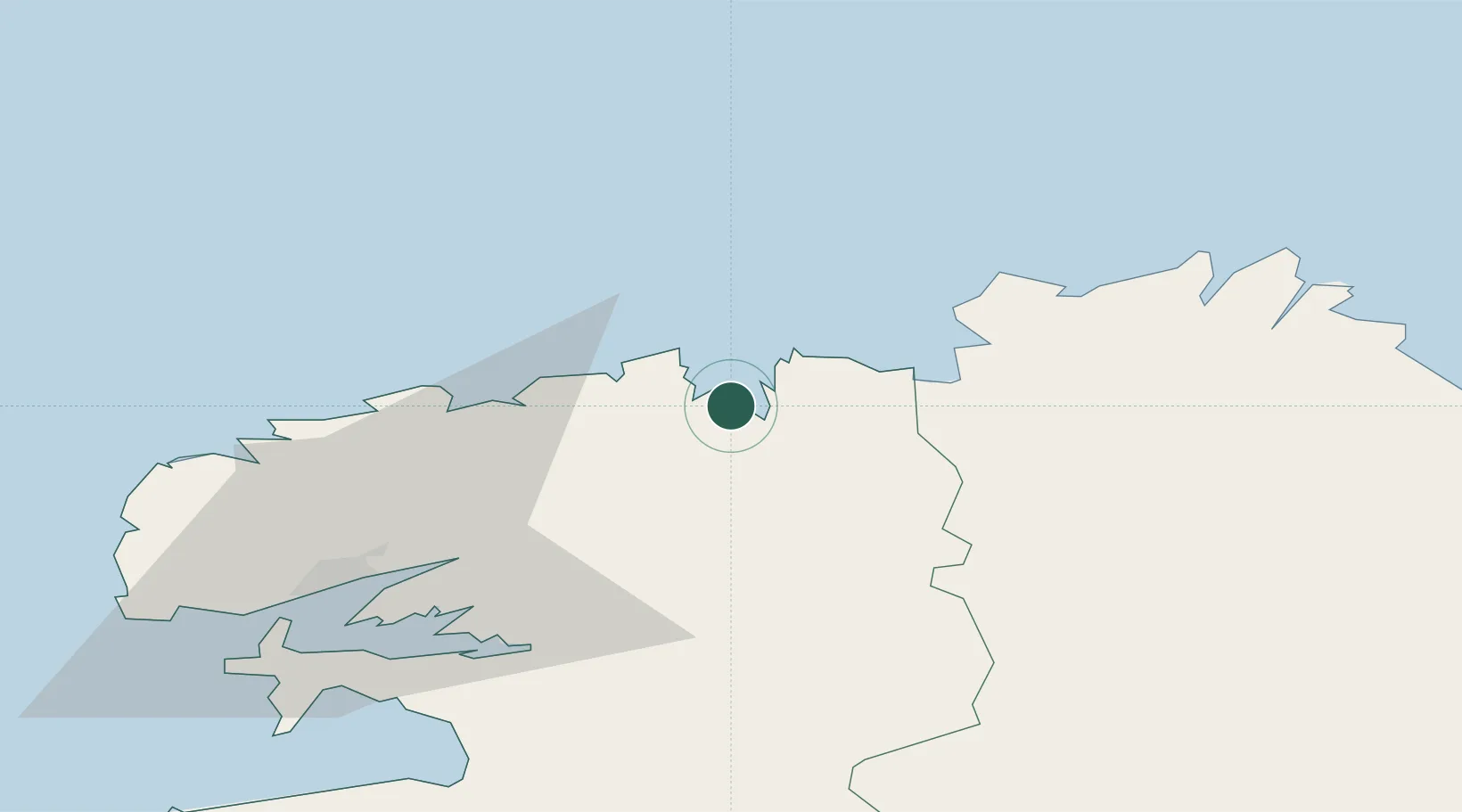
Location
Nearby Logistics Neighbours
Cities
- 1Plouezoc'h6 km
- 2Saint-Pol-de-Léon7 km
- 3Morlaix9 km
- 4Guimaëc15 km
- 5Tréflaouénan15 km
Ports
- 1Morlaix9 km
- 2Port De Roscoff-Bloscon11 km
- 3Treguier51 km
- 4Rade De Brest53 km
- 5Pontrieux56 km
Airports
- 1Morlaix-Ploujean Airport8 km
- 2Landivisiau Air Base23 km
- 3Lannion Airport34 km
- 4Brest Bretagne airport44 km
- 5Lanvéoc-Poulmic Air Base57 km
Trade Zones
- 1Oceansgate Plymouth192 km
- 2Heart of the South West Enterprise Zone195 km
- 3ZFU Saint-Nazaire195 km
- 4ZFU Cherbourg-Octeville196 km
- 5Cornwall Newquay Aerohub Enterprise Zone213 km
DatabookThe Record of Consolidated Knowledge
France beyond logistics?