UN/LOCODE hub · France
FREON
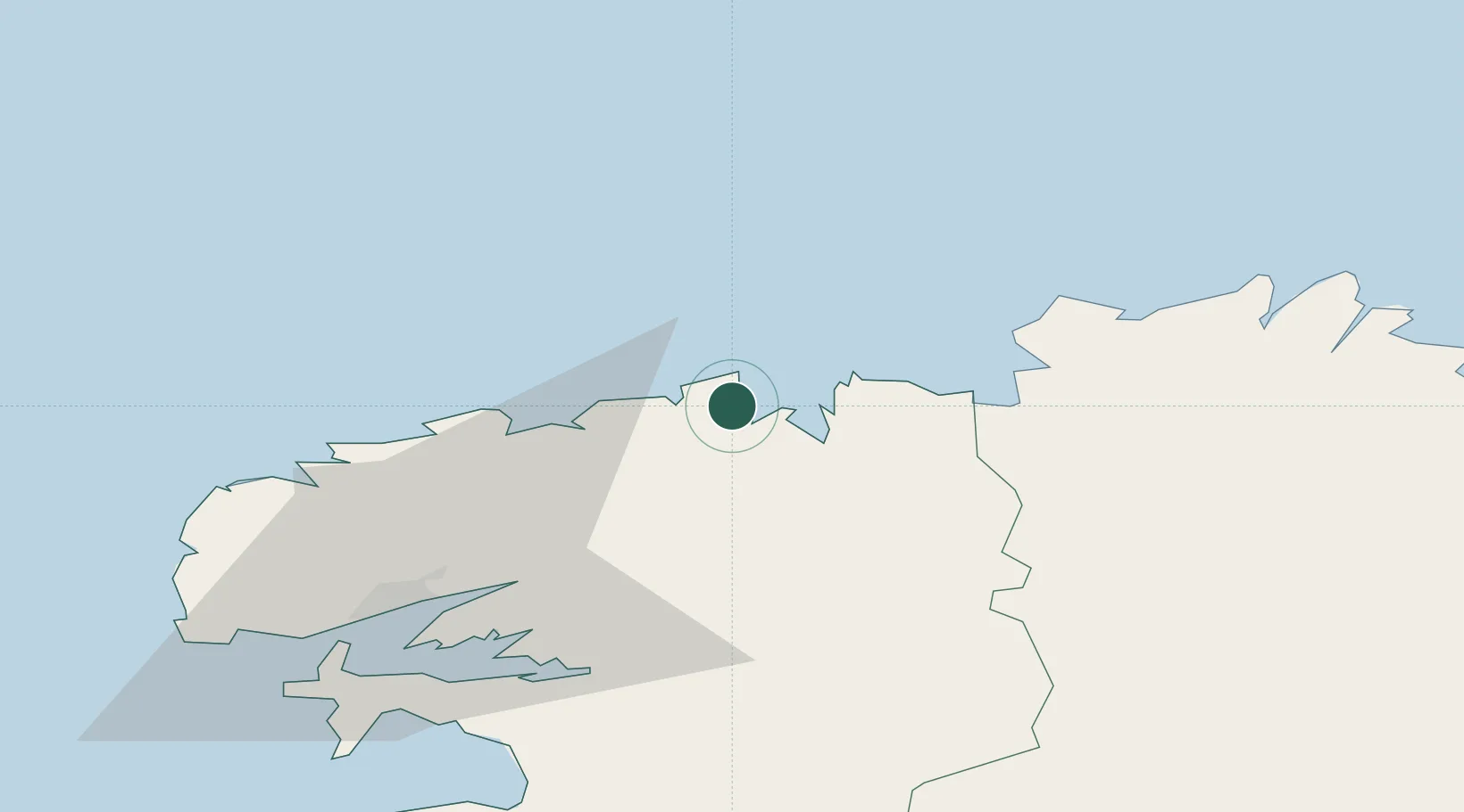
Saint-Pol-de-Léon
48.6833°, -3.9833°
7,627
Population
2
Transport functions
Transport Functions
Rail
Road
Hub Profile
Place type
Populated place
Region
Brittany
Population
7,627
Time zone
Europe/Paris
Elevation
41 m
Location
Nearby Logistics Neighbours
Cities
- 1Lanvenegen7 km
- 2Tréflaouénan10 km
- 3Plouezoc'h13 km
- 4Morlaix16 km
- 5Guimaëc21 km
Ports
- 1Port De Roscoff-Bloscon6 km
- 2Morlaix16 km
- 3Rade De Brest51 km
- 4Treguier56 km
- 5Pontrieux62 km
Airports
- 1Morlaix-Ploujean Airport15 km
- 2Landivisiau Air Base21 km
- 3Lannion Airport38 km
- 4Brest Bretagne airport41 km
- 5Lanvéoc-Poulmic Air Base56 km
Trade Zones
- 1Oceansgate Plymouth188 km
- 2Heart of the South West Enterprise Zone191 km
- 3ZFU Cherbourg-Octeville199 km
- 4ZFU Saint-Nazaire202 km
- 5Cornwall Newquay Aerohub Enterprise Zone208 km
DatabookThe Record of Consolidated Knowledge
France beyond logistics?