UN/LOCODE hub · France
FRZGA
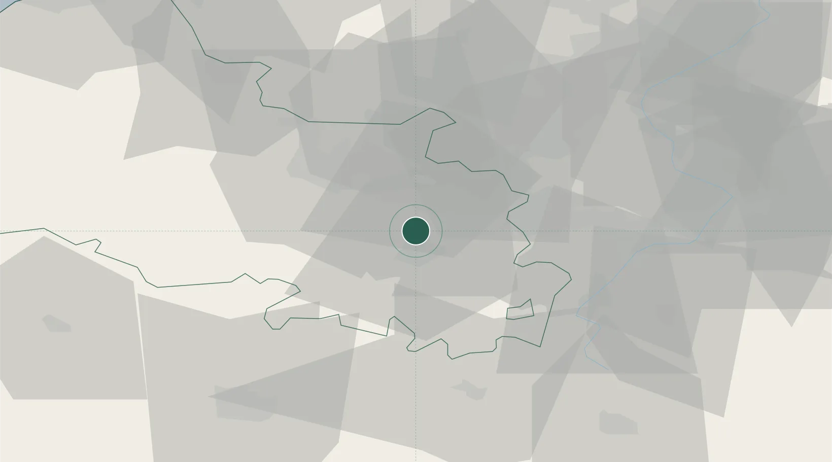
Neuville-Saint-Vaast
50.3500°, 2.7667°
1,444
Population
2
Transport functions
Transport Functions
Road
Multimodal
Hub Profile
Place type
Populated place
Region
Hauts-de-France
Population
1,444
Time zone
Europe/Paris
Elevation
109 m
Location
Nearby Logistics Neighbours
Cities
- 1Saint-Nicolas6 km
- 2Angres6 km
- 3Arras8 km
- 4Éleu-dit-Leauwette8 km
- 5Bully-les-Mines10 km
Ports
- 1Saint-Valery-Sur-Somme84 km
- 2Dunkerque Port Est85 km
- 3Gravelines86 km
- 4Nieuwpoort87 km
- 5Boulogne-Sur-Mer93 km
Airports
- 1Merville-Calonne Airport31 km
- 2Lille Airport34 km
- 3Valenciennes-Denain Airfield49 km
- 4Péronne Saint-Quentin Airfield57 km
- 5Amiens Glisy Airfield60 km
DatabookThe Record of Consolidated Knowledge
France beyond logistics?