Transport Functions
Rail
Road
Hub Profile
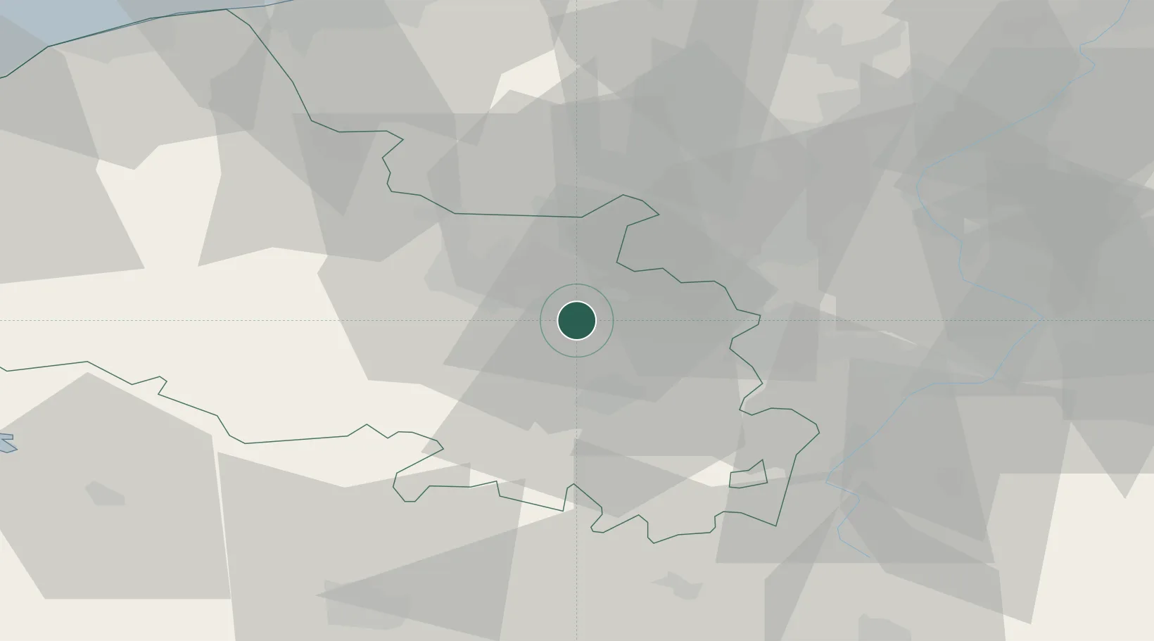
Place type
Populated place
Region
Hauts-de-France
Population
11,975
Time zone
Europe/Paris
Elevation
54 m
Location
Nearby Logistics Neighbours
Cities
- 1Grenay2 km
- 2Angres4 km
- 3Éleu-dit-Leauwette6 km
- 4Barlin7 km
- 5Sailly-Labourse8 km
Ports
- 1Dunkerque Port Est75 km
- 2Gravelines76 km
- 3Nieuwpoort78 km
- 4Saint-Valery-Sur-Somme83 km
- 5Calais85 km
Airports
DatabookThe Record of Consolidated Knowledge
France beyond logistics?