Transport Functions
Port
Rail
Road
Airport
Postal
Hub Profile
Place type
Provincial seat
Region
Hauts-de-France
Population
47,052
Time zone
Europe/Paris
Elevation
73 m
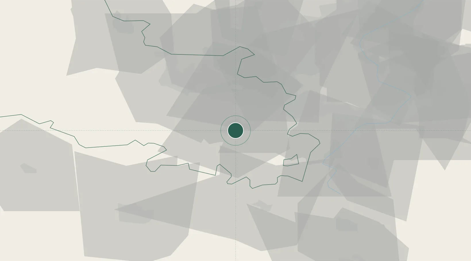
Location
Nearby Logistics Neighbours
Cities
- 1Saint-Nicolas2 km
- 2Neuville-Saint-Vaast8 km
- 3Fontaine-lès-Croisilles12 km
- 4Angres13 km
- 5Rouvroy14 km
Ports
- 1Saint-Valery-Sur-Somme84 km
- 2Dunkerque Port Est92 km
- 3Gravelines93 km
- 4Nieuwpoort95 km
- 5Boulogne-Sur-Mer98 km
Airports
- 1Merville-Calonne Airport39 km
- 2Lille Airport39 km
- 3Valenciennes-Denain Airfield48 km
- 4Péronne Saint-Quentin Airfield49 km
- 5Amiens Glisy Airfield54 km
DatabookThe Record of Consolidated Knowledge
France beyond logistics?