Transport Functions
Road
Multimodal
Hub Profile
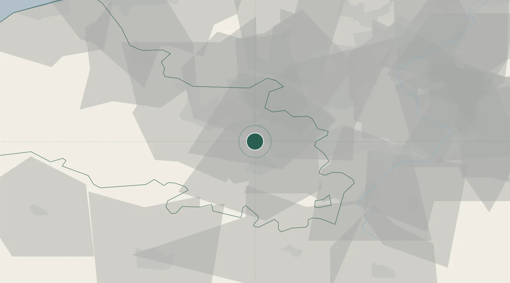
Place type
Populated place
Region
Hauts-de-France
Population
4,553
Time zone
Europe/Paris
Elevation
62 m
Location
Nearby Logistics Neighbours
Cities
- 1Éleu-dit-Leauwette4 km
- 2Bully-les-Mines4 km
- 3Grenay6 km
- 4Neuville-Saint-Vaast6 km
- 5Lens7 km
Ports
- 1Dunkerque Port Est79 km
- 2Gravelines80 km
- 3Nieuwpoort82 km
- 4Saint-Valery-Sur-Somme84 km
- 5Boulogne-Sur-Mer89 km
Airports
DatabookThe Record of Consolidated Knowledge
France beyond logistics?