Transport Functions
Port
Multimodal
Hub Profile
Place type
Populated place
Region
Hauts-de-France
Population
5,791
Time zone
Europe/Paris
Elevation
73 m
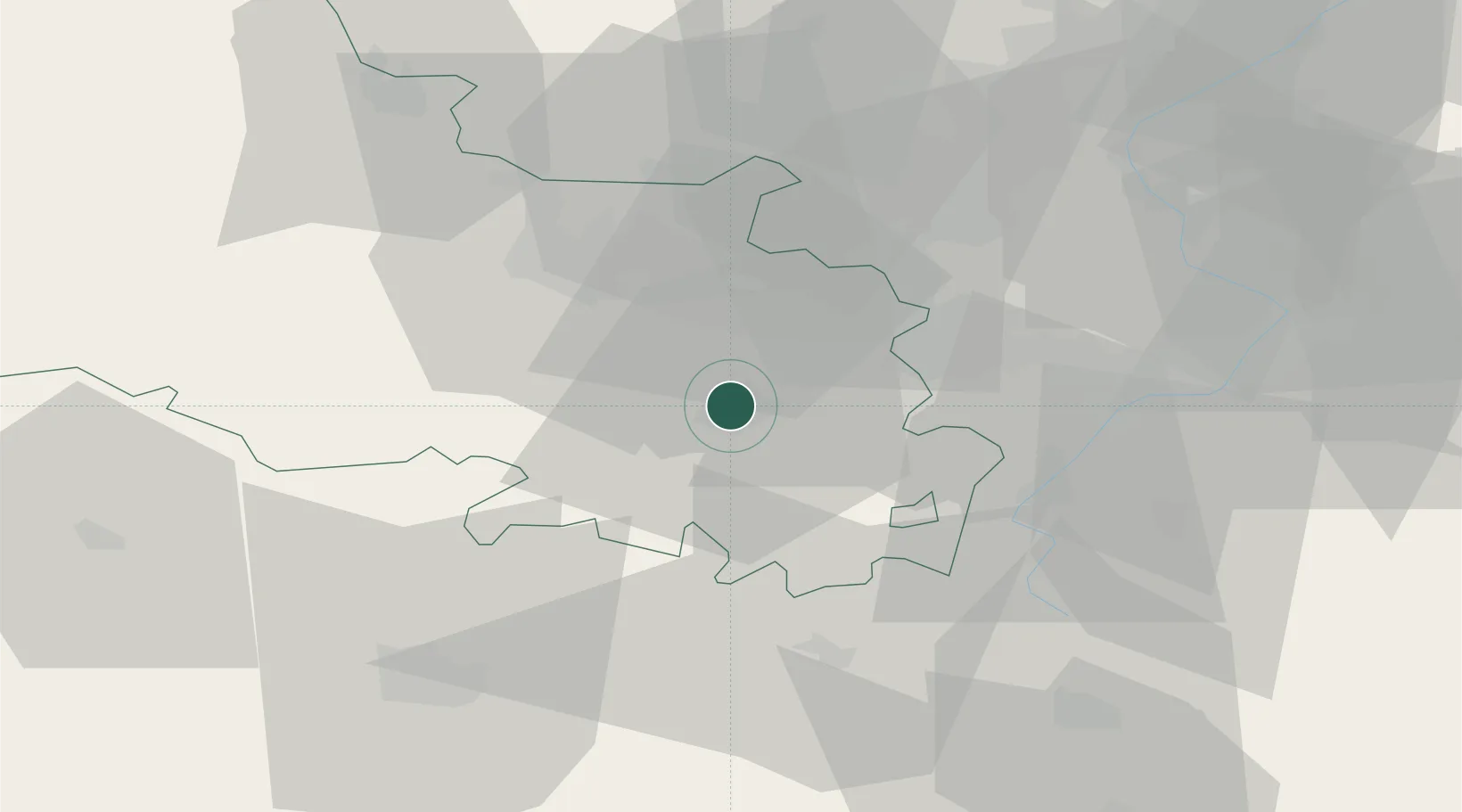
Location
Nearby Logistics Neighbours
Cities
- 1Arras2 km
- 2Neuville-Saint-Vaast6 km
- 3Angres11 km
- 4Éleu-dit-Leauwette13 km
- 5Rouvroy13 km
Ports
- 1Saint-Valery-Sur-Somme83 km
- 2Dunkerque Port Est90 km
- 3Gravelines90 km
- 4Nieuwpoort93 km
- 5Boulogne-Sur-Mer96 km
Airports
- 1Merville-Calonne Airport37 km
- 2Lille Airport38 km
- 3Valenciennes-Denain Airfield49 km
- 4Péronne Saint-Quentin Airfield52 km
- 5Amiens Glisy Airfield55 km
DatabookThe Record of Consolidated Knowledge
France beyond logistics?