UN/LOCODE hub · France
FRZEN

Le Tronchet

48.4833°, -1.8333°
932
Population
1
Transport functions

Transport Functions

Multimodal
UN/LOCODE

Hub Profile

Place type
Populated place
GeoNames
Region
Brittany
GeoNames
Population
932
GeoNames
Time zone
Europe/Paris
GeoNames
Elevation
49 m
GeoNames

Location

Location of FRZEN
Natural Earth 10m (public domain) · Brittany · FRZEN · 48.48, -1.83GoogleOSMYandex

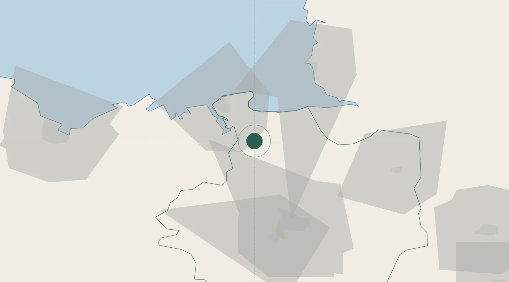
Nearby Logistics Neighbours

Cities
  1. 1Plerguer6 km
  2. 2Jugon-les-Lacs8 km
  3. 3Châteauneuf-d'Ille-et-Vilaine10 km
  4. 4Pleudihen-sur-Rance10 km
  5. 5Plouër-sur-Rance14 km
Nearest neighbours — logibook spatial index (haversine) over the source coordinates
Ports
  1. 1Saint-Malo23 km
  2. 2Granville43 km
  3. 3Le Legue68 km
  4. 4Saint Helier Harbour81 km
  5. 5Paimpol95 km
Nearest neighbours — logibook spatial index (haversine) over the source coordinates
Airports
  1. 1Dinard Pleurtuit Saint-Malo airport22 km
  2. 2Rennes-Saint-Jacques Airport47 km
  3. 3Granville Airport49 km
  4. 4Saint-Brieuc-Armor Airport75 km
  5. 5Jersey Airport85 km
Nearest neighbours — logibook spatial index (haversine) over the source coordinates
Trade Zones
  1. 1ZFU Cherbourg-Octeville129 km
  2. 2ZFU La Guérinière, La Grâce de Dieu130 km
  3. 3ZFU Hérouville-Saint-Clair135 km
  4. 4ZFU Saint-Nazaire138 km
  5. 5ZFU Nantes et Saint-Herblain140 km
Nearest neighbours — logibook spatial index (haversine) over the source coordinates
DatabookThe Record of Consolidated Knowledge
France beyond logistics?
Browse databook

All Sources

LocationsUN/LOCODE
UN/LOCODE — free
LocationsGeoNames
CC BY 4.0
Portsthe NGA World Port Index
Public domain (US gov)
AirportsOurAirports
Public domain
Trade Zonesthe World Bank SEZ database
CC BY 4.0
Trade ZonesOpen Zone Map
CC BY
← France locations