Transport Functions
Port
Road
Hub Profile
Place type
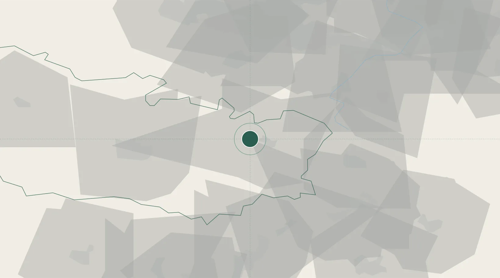
Populated place
Region
Hauts-de-France
Population
152
Time zone
Europe/Paris
Elevation
50 m
Location
Nearby Logistics Neighbours
Cities
- 1Flaucourt4 km
- 2Dompierre-Becquincourt6 km
- 3Biaches7 km
- 4Rancourt8 km
- 5Barleux8 km
Ports
- 1Saint-Valery-Sur-Somme91 km
- 2Le Treport106 km
- 3Boulogne-Sur-Mer124 km
- 4Dieppe125 km
- 5Gravelines127 km
Airports
DatabookThe Record of Consolidated Knowledge
France beyond logistics?