UN/LOCODE hub · France
FRZAN

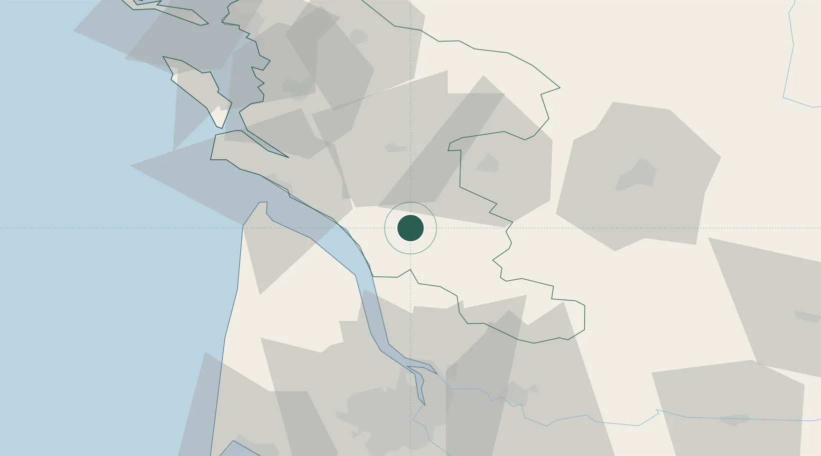
Saint-Genis-de-Saintonge

45.4833°, -0.5833°
1,086
Population
3
Transport functions

Transport Functions

Port
Road
Multimodal
UN/LOCODE

Hub Profile

Place type
Populated place
GeoNames
Region
Nouvelle-Aquitaine
GeoNames
Population
1,086
GeoNames
Time zone
Europe/Paris
GeoNames
Elevation
35 m
GeoNames

Location

Location of FRZAN
Natural Earth 10m (public domain) · Nouvelle-Aquitaine · FRZAN · 45.48, -0.58GoogleOSMYandex

Nearby Logistics Neighbours

Cities
  1. 1Plassac2 km
  2. 2Saint-Palais-de-Phiolin4 km
  3. 3Champagnolles5 km
  4. 4Saint-Grégoire-d'Ardennes7 km
  5. 5Marignac9 km
Nearest neighbours — logibook spatial index (haversine) over the source coordinates
Ports
  1. 1Pauillac34 km
  2. 2Le Verdon37 km
  3. 3Blaye40 km
  4. 4Ambes52 km
  5. 5Tonnay Charente56 km
Nearest neighbours — logibook spatial index (haversine) over the source coordinates
Airports
  1. 1Cognac-Châteaubernard (BA 709) Air Base28 km
  2. 2Royan-Médis Airport34 km
  3. 3Rochefort-Saint-Agnant (BA 721) Airport55 km
  4. 4Angoulême Brie-Champniers airport68 km
  5. 5Bordeaux–Mérignac Airport74 km
Nearest neighbours — logibook spatial index (haversine) over the source coordinates
Trade Zones
  1. 1Port de Bordeaux64 km
  2. 2ZFU Hauts de Garonne73 km
  3. 3ZFU La Rochelle90 km
  4. 4ZFU Nantes et Saint-Herblain212 km
  5. 5ZFU Angers222 km
Nearest neighbours — logibook spatial index (haversine) over the source coordinates
DatabookThe Record of Consolidated Knowledge
France beyond logistics?
Browse databook

All Sources

LocationsUN/LOCODE
UN/LOCODE — free
LocationsGeoNames
CC BY 4.0
Portsthe NGA World Port Index
Public domain (US gov)
AirportsOurAirports
Public domain
Trade Zonesthe World Bank SEZ database
CC BY 4.0
Trade ZonesOpen Zone Map
CC BY
← France locations