Transport Functions
Multimodal
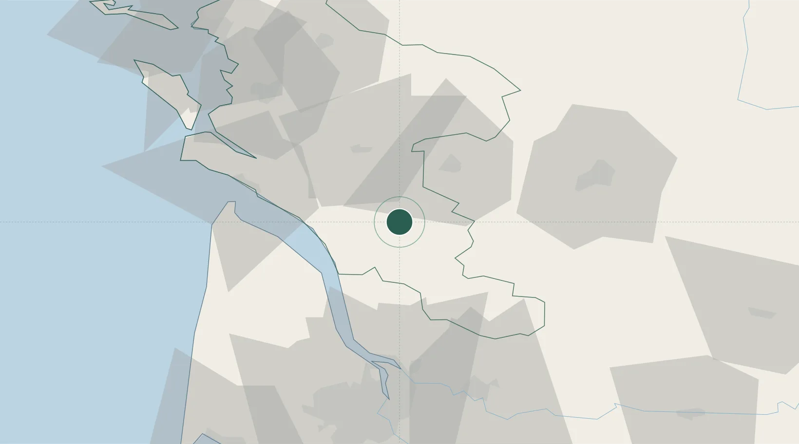
Hub Profile
Place type
Populated place
Region
Nouvelle-Aquitaine
Time zone
Europe/Paris
Elevation
39 m
Location
Nearby Logistics Neighbours
Cities
- 1Marignac2 km
- 2Plassac6 km
- 3Saint-Genis-de-Saintonge7 km
- 4Saint-Palais-de-Phiolin8 km
- 5Saint-Maurice-de-Tavernole8 km
Ports
- 1Pauillac39 km
- 2Blaye43 km
- 3Le Verdon43 km
- 4Ambes54 km
- 5Tonnay Charente57 km
Airports
Trade Zones
- 1Port de Bordeaux66 km
- 2ZFU Hauts de Garonne75 km
- 3ZFU La Rochelle92 km
- 4ZFU Nantes et Saint-Herblain213 km
- 5ZFU Angers221 km
DatabookThe Record of Consolidated Knowledge
France beyond logistics?