Transport Functions
Multimodal
Hub Profile
Place type
Populated place
Region
Nouvelle-Aquitaine
Population
536
Time zone
Europe/Paris
Elevation
34 m
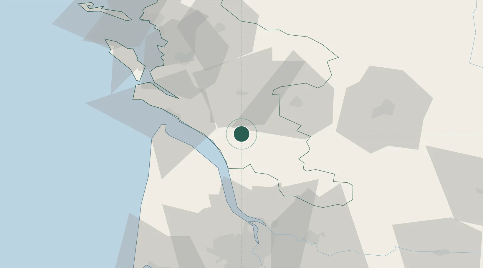
Location
Nearby Logistics Neighbours
Cities
- 1Saint-Palais-de-Phiolin3 km
- 2Saint-Genis-de-Saintonge5 km
- 3Virollet8 km
- 4Plassac8 km
- 5Lorignac8 km
Ports
- 1Le Verdon33 km
- 2Pauillac36 km
- 3Blaye43 km
- 4Tonnay Charente51 km
- 5Rochefort52 km
Airports
Trade Zones
- 1Port de Bordeaux68 km
- 2ZFU Hauts de Garonne77 km
- 3ZFU La Rochelle85 km
- 4ZFU Nantes et Saint-Herblain207 km
- 5ZFU Angers219 km
DatabookThe Record of Consolidated Knowledge
France beyond logistics?