Transport Functions
Rail
Road
Hub Profile
Place type
Populated place
Region
Nouvelle-Aquitaine
Population
373
Time zone
Europe/Paris
Elevation
55 m
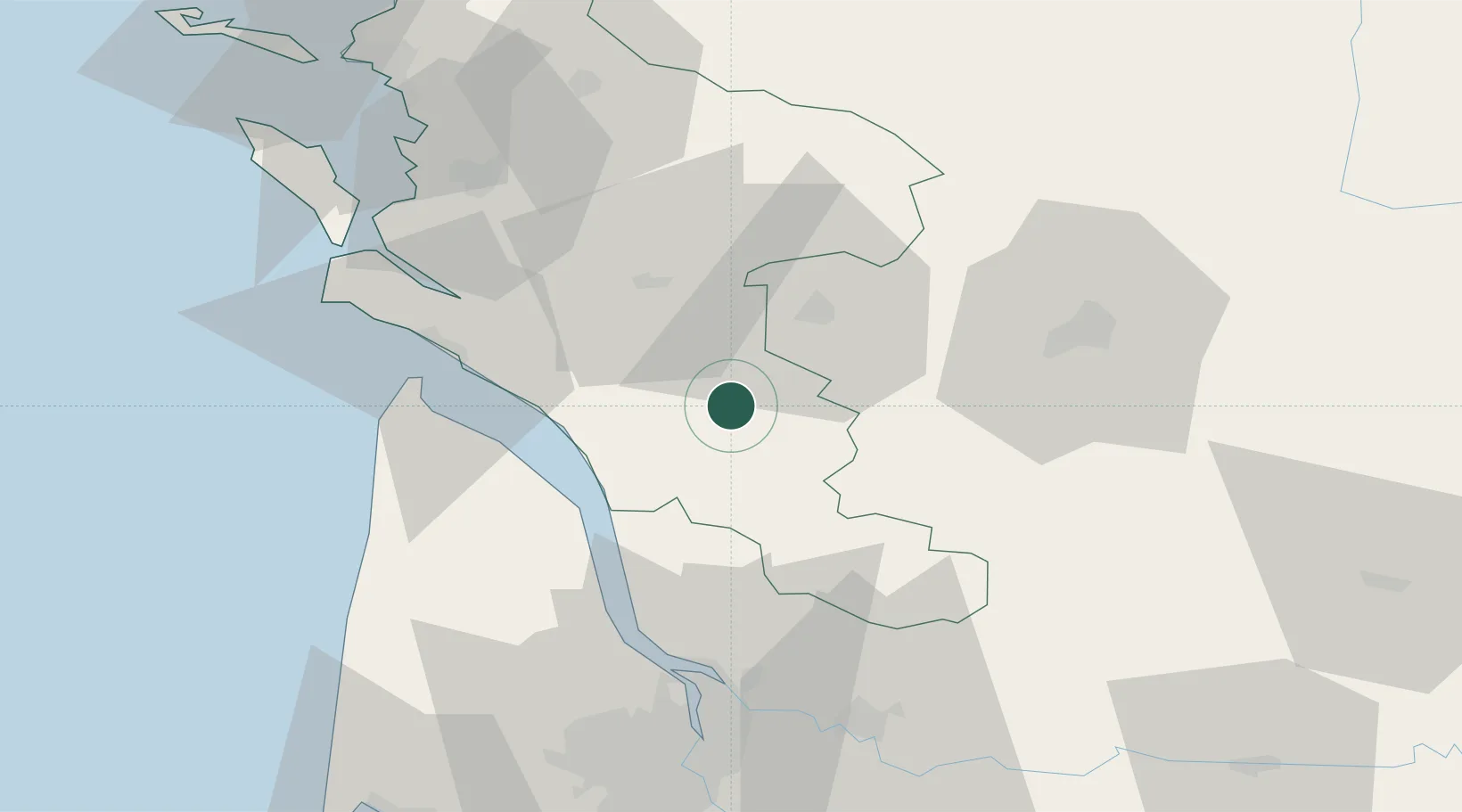
Location
Nearby Logistics Neighbours
Cities
- 1Saint-Grégoire-d'Ardennes2 km
- 2Saint-Maurice-de-Tavernole8 km
- 3Échebrune8 km
- 4Plassac9 km
- 5Saint-Genis-de-Saintonge9 km
Ports
- 1Pauillac41 km
- 2Le Verdon44 km
- 3Blaye45 km
- 4Ambes56 km
- 5Tonnay Charente57 km
Airports
Trade Zones
- 1Port de Bordeaux68 km
- 2ZFU Hauts de Garonne77 km
- 3ZFU La Rochelle91 km
- 4ZFU Nantes et Saint-Herblain212 km
- 5ZFU Angers219 km
DatabookThe Record of Consolidated Knowledge
France beyond logistics?