UN/LOCODE hub · France
FRPPH

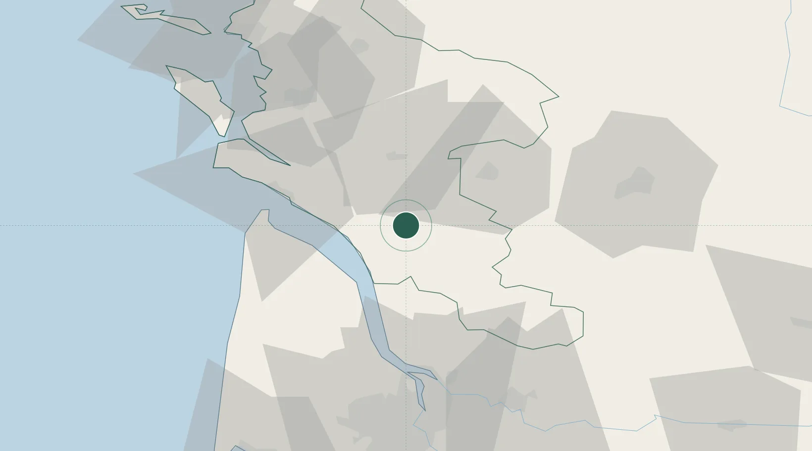
Saint-Palais-de-Phiolin

45.5167°, -0.6000°
232
Population
1
Transport functions

Transport Functions

Multimodal
UN/LOCODE

Hub Profile

Place type
Populated place
GeoNames
Region
Nouvelle-Aquitaine
GeoNames
Population
232
GeoNames
Time zone
Europe/Paris
GeoNames
Elevation
42 m
GeoNames

Location

Location of FRPPH
Natural Earth 10m (public domain) · Nouvelle-Aquitaine · FRPPH · 45.52, -0.60GoogleOSMYandex

Nearby Logistics Neighbours

Cities
  1. 1Champagnolles3 km
  2. 2Saint-Genis-de-Saintonge4 km
  3. 3Plassac6 km
  4. 4Saint-Grégoire-d'Ardennes8 km
  5. 5Marignac9 km
Nearest neighbours — logibook spatial index (haversine) over the source coordinates
Ports
  1. 1Le Verdon35 km
  2. 2Pauillac37 km
  3. 3Blaye43 km
  4. 4Tonnay Charente52 km
  5. 5Rochefort54 km
Nearest neighbours — logibook spatial index (haversine) over the source coordinates
Airports
  1. 1Cognac-Châteaubernard (BA 709) Air Base27 km
  2. 2Royan-Médis Airport32 km
  3. 3Rochefort-Saint-Agnant (BA 721) Airport51 km
  4. 4Angoulême Brie-Champniers airport68 km
  5. 5Bordeaux–Mérignac Airport77 km
Nearest neighbours — logibook spatial index (haversine) over the source coordinates
Trade Zones
  1. 1Port de Bordeaux68 km
  2. 2ZFU Hauts de Garonne77 km
  3. 3ZFU La Rochelle86 km
  4. 4ZFU Nantes et Saint-Herblain208 km
  5. 5ZFU Angers219 km
Nearest neighbours — logibook spatial index (haversine) over the source coordinates
DatabookThe Record of Consolidated Knowledge
France beyond logistics?
Browse databook

All Sources

LocationsUN/LOCODE
UN/LOCODE — free
LocationsGeoNames
CC BY 4.0
Portsthe NGA World Port Index
Public domain (US gov)
AirportsOurAirports
Public domain
Trade Zonesthe World Bank SEZ database
CC BY 4.0
Trade ZonesOpen Zone Map
CC BY
← France locations