Transport Functions
Rail
Road
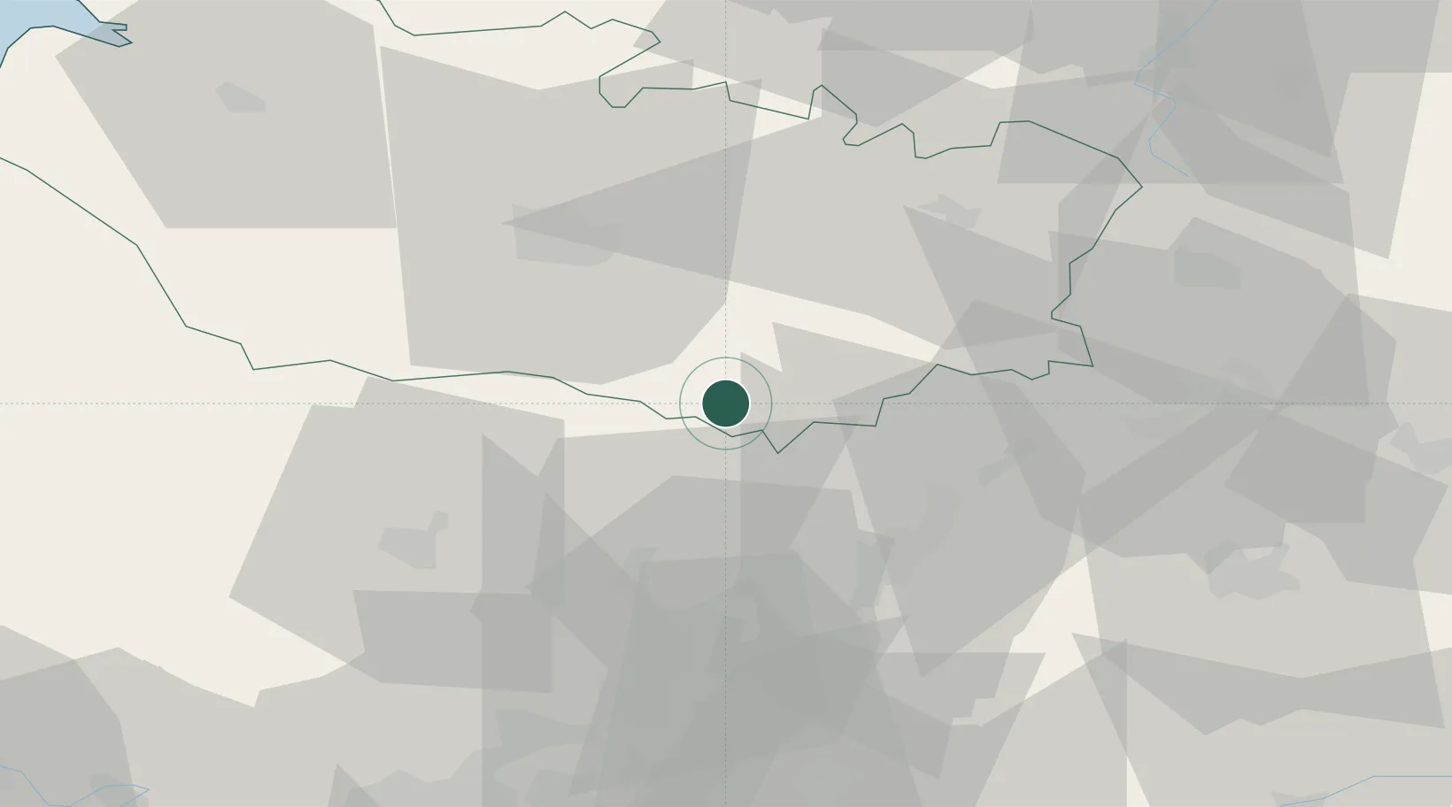
Hub Profile
Place type
District seat
Region
Hauts-de-France
Population
6,556
Time zone
Europe/Paris
Elevation
98 m
Location
Nearby Logistics Neighbours
Cities
- 1Le Quesnoy9 km
- 2Beaufort-en-Santerre17 km
- 3Roye17 km
- 4Roye-sur-Matz17 km
- 5Thennes18 km
Ports
- 1Saint-Valery-Sur-Somme90 km
- 2Le Treport98 km
- 3Port Of Rouen111 km
- 4Dieppe111 km
- 5Boulogne-Sur-Mer139 km
Airports
Trade Zones
- 1ZFU Amiens41 km
- 2ZFU Beauvais44 km
- 3ZFU Creil et Montataire45 km
- 4ZFU Le Vermandois Vermand, Fayet, Artois, Champagne51 km
- 5ZFU Presles, Chevreux61 km
DatabookThe Record of Consolidated Knowledge
France beyond logistics?