Transport Functions
Multimodal
Hub Profile
Place type
Populated place
Region
Nouvelle-Aquitaine
Population
256
Time zone
Europe/Paris
Elevation
26 m
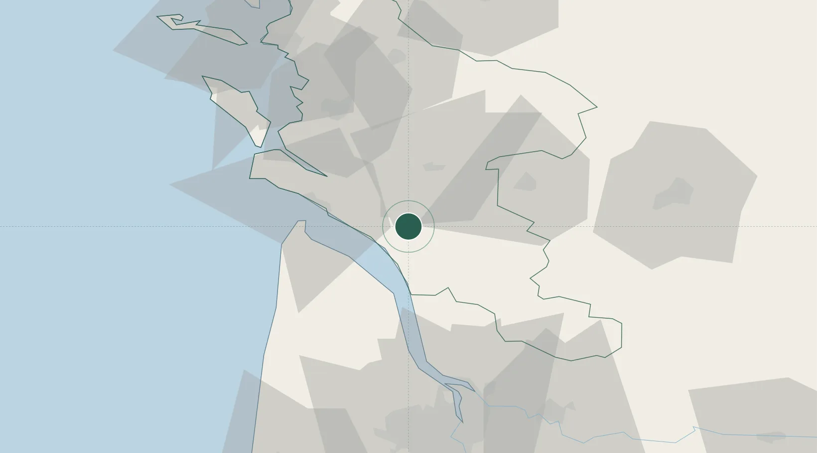
Location
Nearby Logistics Neighbours
Cities
- 1Saint-André-de-Lidon6 km
- 2Brie-sous-Mortagne6 km
- 3Champagnolles8 km
- 4Cozes10 km
- 5Éraville10 km
Ports
- 1Le Verdon26 km
- 2Pauillac39 km
- 3Tonnay Charente45 km
- 4Rochefort46 km
- 5Blaye47 km
Airports
Trade Zones
- 1Port de Bordeaux73 km
- 2ZFU La Rochelle78 km
- 3ZFU Hauts de Garonne81 km
- 4ZFU Nantes et Saint-Herblain201 km
- 5ZFU Angers215 km
DatabookThe Record of Consolidated Knowledge
France beyond logistics?