UN/LOCODE hub · France
FRUBO
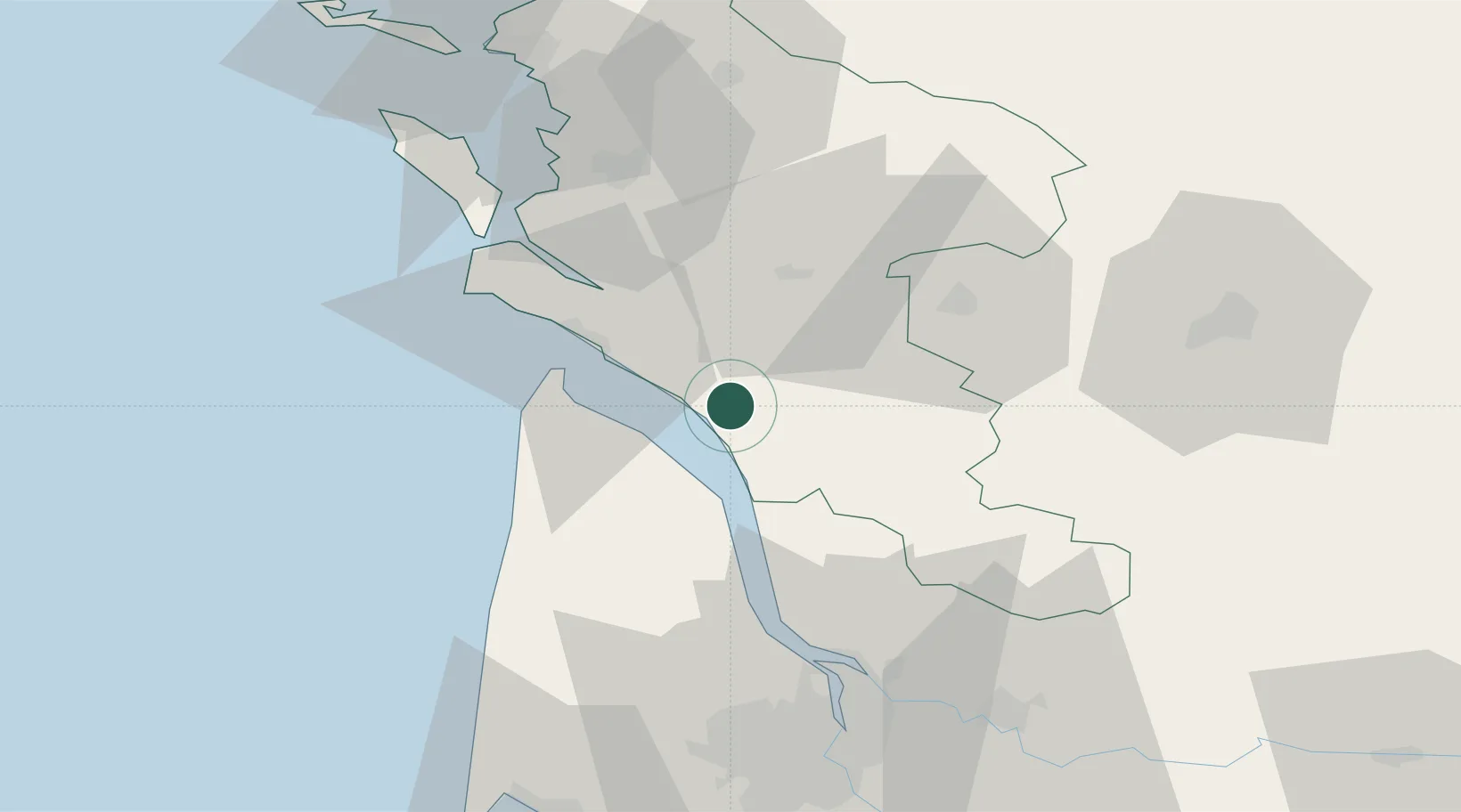
Brie-sous-Mortagne
45.5000°, -0.7500°
261
Population
1
Transport functions
Transport Functions
Multimodal
Hub Profile
Place type
Populated place
Region
Nouvelle-Aquitaine
Population
261
Time zone
Europe/Paris
Elevation
48 m
Location
Nearby Logistics Neighbours
Cities
- 1Virollet6 km
- 2Chenac-Saint-Seurin-d'Uzet7 km
- 3Lorignac8 km
- 4Champagnolles9 km
- 5Saint-André-de-Lidon11 km
Ports
- 1Le Verdon24 km
- 2Pauillac33 km
- 3Blaye41 km
- 4Tonnay Charente50 km
- 5Rochefort51 km
Airports
Trade Zones
- 1Port de Bordeaux68 km
- 2ZFU Hauts de Garonne76 km
- 3ZFU La Rochelle82 km
- 4ZFU Nantes et Saint-Herblain205 km
- 5ZFU Angers221 km
DatabookThe Record of Consolidated Knowledge
France beyond logistics?