Transport Functions
Road
Multimodal
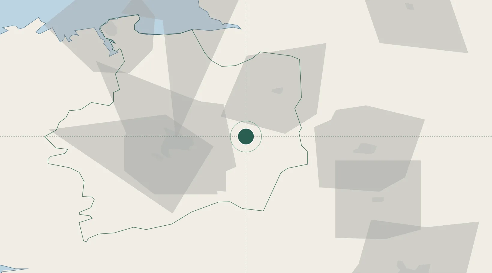
Hub Profile
Place type
Populated place
Region
Brittany
Population
842
Time zone
Europe/Paris
Elevation
102 m
Location
Nearby Logistics Neighbours
Cities
- 1Brécé11 km
- 2Acigné15 km
- 3Châtillon-en-Vendelais15 km
- 4Combourtillé16 km
- 5Saint-Jean-sur-Couesnon17 km
Ports
- 1Saint-Malo77 km
- 2Granville80 km
- 3Nantes105 km
- 4Donges108 km
- 5Montoir110 km
Airports
Trade Zones
- 1ZFU Angers91 km
- 2ZFU Nantes et Saint-Herblain105 km
- 3ZFU Alençon110 km
- 4ZFU Le Mans110 km
- 5ZFU Saint-Nazaire118 km
DatabookThe Record of Consolidated Knowledge
France beyond logistics?