Transport Functions
Multimodal
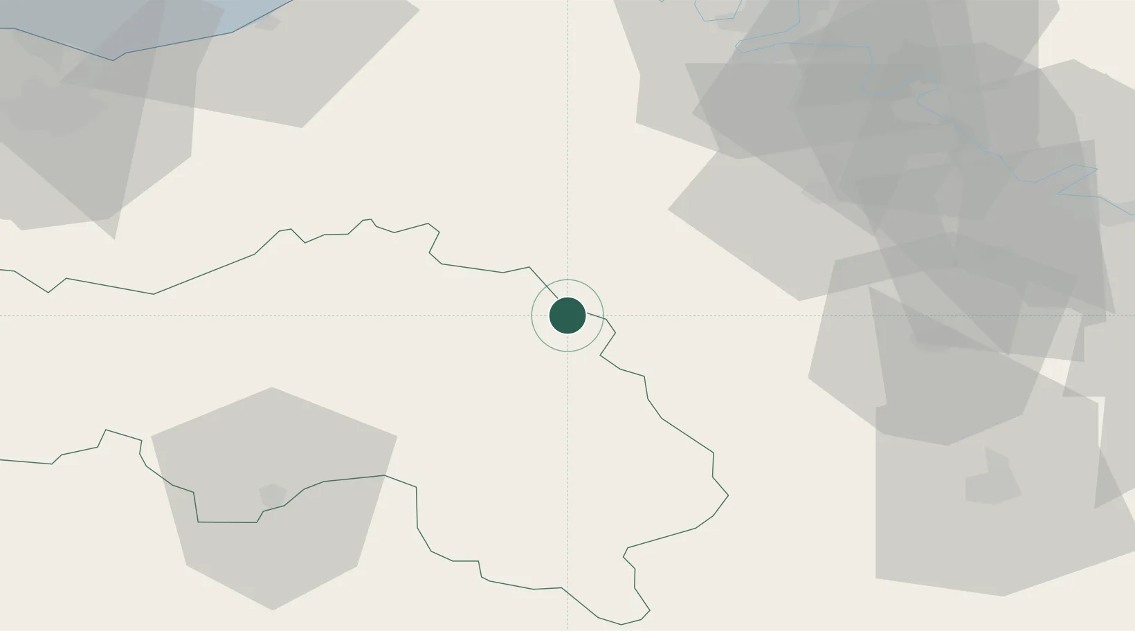
Hub Profile
Place type
Populated place
Region
Normandy
Population
508
Time zone
Europe/Paris
Elevation
137 m
Location
Nearby Logistics Neighbours
Cities
- 1Boisthorel8 km
- 2Bourth11 km
- 3La Neuve-Lyre16 km
- 4L'Hôme-Chamondot23 km
- 5Condé-sur-Iton23 km
Ports
- 1Deauville78 km
- 2Honfleur78 km
- 3Port Of Rouen80 km
- 4Port De Caen87 km
- 5Ouistreham87 km
Airports
Trade Zones
- 1ZFU Évreux44 km
- 2ZFU Dreux et Sainte-Gemme-Moronval52 km
- 3ZFU Alençon58 km
- 4ZFU Mantes-la-Jolie80 km
- 5ZFU Rouen Bihorel82 km
DatabookThe Record of Consolidated Knowledge
France beyond logistics?