Transport Functions
Road
Multimodal
Hub Profile
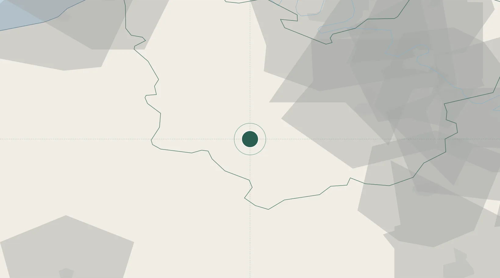
Place type
Populated place
Region
Normandy
Population
596
Time zone
Europe/Paris
Elevation
153 m
Location
Nearby Logistics Neighbours
Cities
- 1Montsecret16 km
- 2Bourth17 km
- 3Condé-sur-Iton18 km
- 4Île-de-Bréhat20 km
- 5Bernay22 km
Ports
- 1Port Of Rouen64 km
- 2Honfleur68 km
- 3Deauville70 km
- 4Port Of Le Havre78 km
- 5Ouistreham83 km
Airports
Trade Zones
- 1ZFU Évreux32 km
- 2ZFU Dreux et Sainte-Gemme-Moronval50 km
- 3ZFU Rouen Bihorel66 km
- 4ZFU Mantes-la-Jolie71 km
- 5ZFU Alençon73 km
DatabookThe Record of Consolidated Knowledge
France beyond logistics?