Transport Functions
Port
Road
Hub Profile
Place type
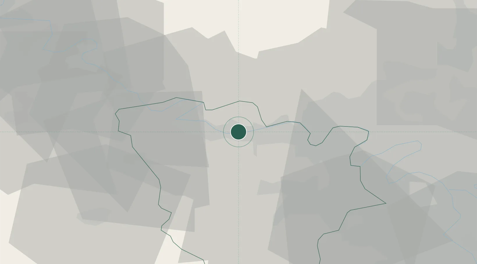
Populated place
Region
Île-de-France
Population
4,469
Time zone
Europe/Paris
Elevation
78 m
Location
Nearby Logistics Neighbours
Cities
- 1Mézières-sur-Seine2 km
- 2Limay4 km
- 3Flins5 km
- 4Mantes-la-Jolie6 km
- 5Guerville6 km
Ports
- 1Port Of Rouen74 km
- 2Dieppe118 km
- 3Le Treport125 km
- 4Honfleur125 km
- 5Deauville132 km
Airports
Trade Zones
- 1ZFU Mantes-la-Jolie6 km
- 2ZFU Les Mureaux7 km
- 3ZFU Sartrouville27 km
- 4ZFU Trappes27 km
- 5ZFU Argenteuil32 km
DatabookThe Record of Consolidated Knowledge
France beyond logistics?