UN/LOCODE hub · France
FRXE3

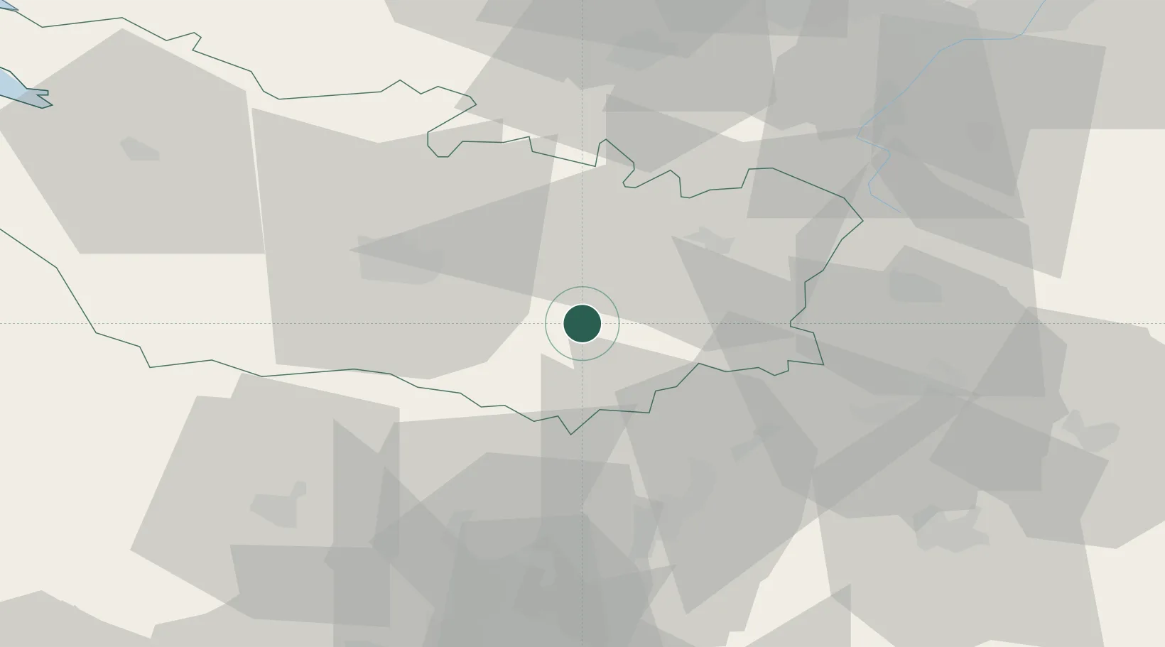
Beaufort-en-Santerre

49.7833°, 2.6667°
140
Population
1
Transport functions

Transport Functions

Multimodal
UN/LOCODE

Hub Profile

Place type
Populated place
GeoNames
Region
Hauts-de-France
GeoNames
Population
140
GeoNames
Time zone
Europe/Paris
GeoNames
Elevation
99 m
GeoNames

Location

Location of FRXE3
Natural Earth 10m (public domain) · Hauts-de-France · FRXE3 · 49.78, 2.67GoogleOSMYandex

Nearby Logistics Neighbours

Cities
  1. 1Harbonnières7 km
  2. 2Le Quesnoy8 km
  3. 3Chaulnes10 km
  4. 4Roye13 km
  5. 5Thennes13 km
Nearest neighbours — logibook spatial index (haversine) over the source coordinates
Ports
  1. 1Saint-Valery-Sur-Somme87 km
  2. 2Le Treport98 km
  3. 3Dieppe115 km
  4. 4Port Of Rouen121 km
  5. 5Boulogne-Sur-Mer130 km
Nearest neighbours — logibook spatial index (haversine) over the source coordinates
Airports
  1. 1Amiens Glisy Airfield22 km
  2. 2Péronne Saint-Quentin Airfield28 km
  3. 3Beauvais-Tillé airport54 km
  4. 4Creil Air Base60 km
  5. 5Abbeville-Buigny Baie de Somme Airfield72 km
Nearest neighbours — logibook spatial index (haversine) over the source coordinates
Trade Zones
  1. 1ZFU Le Vermandois Vermand, Fayet, Artois, Champagne40 km
  2. 2ZFU Amiens40 km
  3. 3ZFU Beauvais58 km
  4. 4ZFU Creil et Montataire61 km
  5. 5ZFU Presles, Chevreux65 km
Nearest neighbours — logibook spatial index (haversine) over the source coordinates
DatabookThe Record of Consolidated Knowledge
France beyond logistics?
Browse databook

All Sources

LocationsUN/LOCODE
UN/LOCODE — free
LocationsGeoNames
CC BY 4.0
Portsthe NGA World Port Index
Public domain (US gov)
AirportsOurAirports
Public domain
Trade Zonesthe World Bank SEZ database
CC BY 4.0
Trade ZonesOpen Zone Map
CC BY
← France locations