Transport Functions
Rail
Road
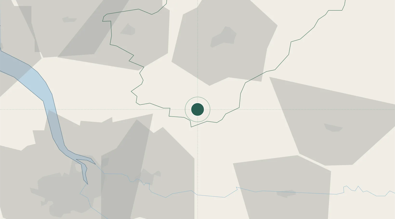
Hub Profile
Place type
Populated place
Region
Nouvelle-Aquitaine
Population
1,986
Time zone
Europe/Paris
Elevation
59 m
Location
Nearby Logistics Neighbours
Cities
- 1Bors-de-Montmoreau13 km
- 2Montmoreau-Saint-Cybard15 km
- 3Berneuil15 km
- 4Challignac17 km
- 5Les Églisottes-et-Chalaures21 km
Airports
Trade Zones
- 1Port de Bordeaux61 km
- 2ZFU Hauts de Garonne70 km
- 3ZFU La Rochelle137 km
- 4ZFU Toulouse218 km
- 5ZFU Clermont-Ferrand244 km
DatabookThe Record of Consolidated Knowledge
France beyond logistics?