Transport Functions
Multimodal
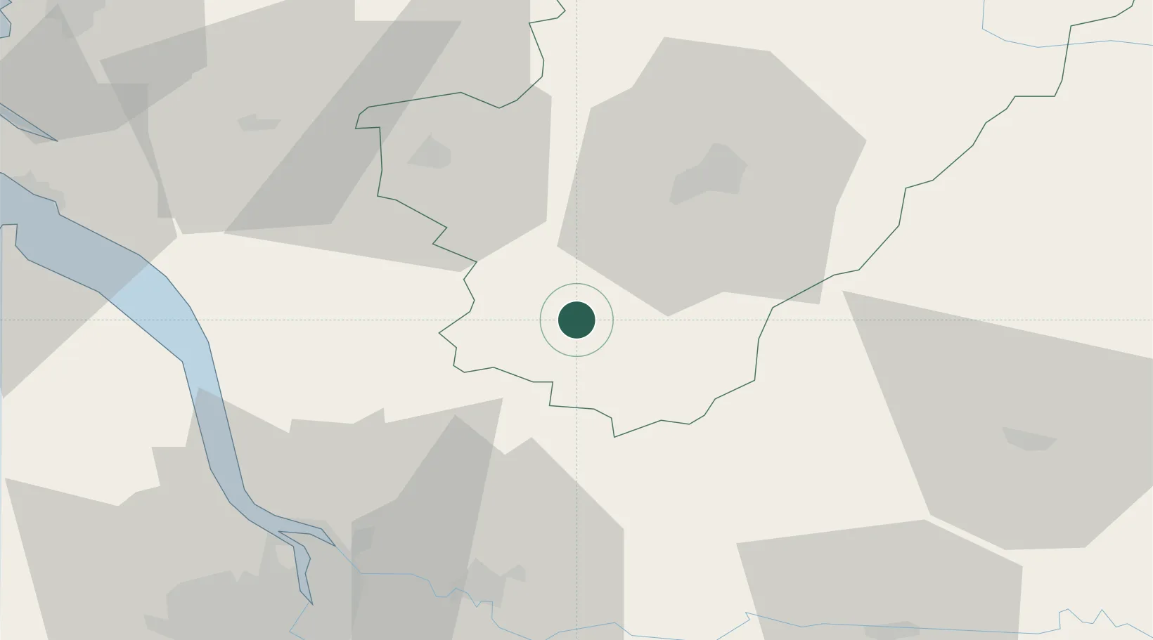
Hub Profile
Place type
Populated place
Region
Nouvelle-Aquitaine
Population
325
Time zone
Europe/Paris
Elevation
144 m
Location
Nearby Logistics Neighbours
Cities
- 1Challignac2 km
- 2Mainfonds15 km
- 3Chalais15 km
- 4Montmoreau-Saint-Cybard16 km
- 5Malaville17 km
Airports
Trade Zones
- 1Port de Bordeaux66 km
- 2ZFU Hauts de Garonne75 km
- 3ZFU La Rochelle123 km
- 4ZFU Toulouse233 km
- 5ZFU Angers235 km
DatabookThe Record of Consolidated Knowledge
France beyond logistics?