Transport Functions
Multimodal
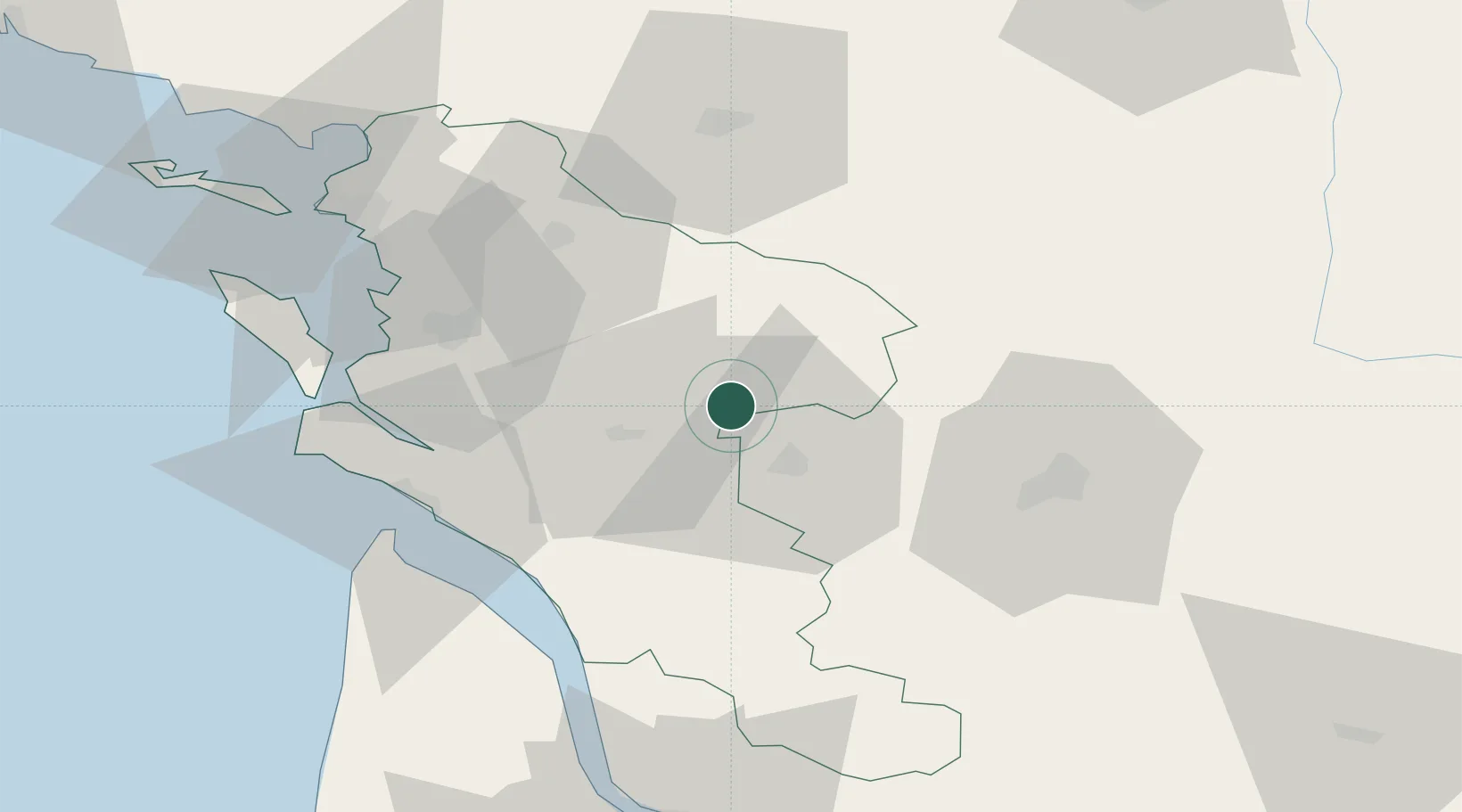
Hub Profile
Place type
Populated place
Region
Nouvelle-Aquitaine
Population
271
Time zone
Europe/Paris
Elevation
76 m
Location
Nearby Logistics Neighbours
Cities
- 1Migron3 km
- 2Brizambourg4 km
- 3Bercloux5 km
- 4Mesnac7 km
- 5Aumagne8 km
Ports
- 1Tonnay Charente39 km
- 2Rochefort43 km
- 3Le Verdon55 km
- 4La Rochelle68 km
- 5Pauillac71 km
Airports
Trade Zones
- 1ZFU La Rochelle72 km
- 2Port de Bordeaux99 km
- 3ZFU Hauts de Garonne109 km
- 4ZFU Nantes et Saint-Herblain186 km
- 5ZFU Angers187 km
DatabookThe Record of Consolidated Knowledge
France beyond logistics?