UN/LOCODE hub · France
FRJMO
Saint-Jean-de-Monts
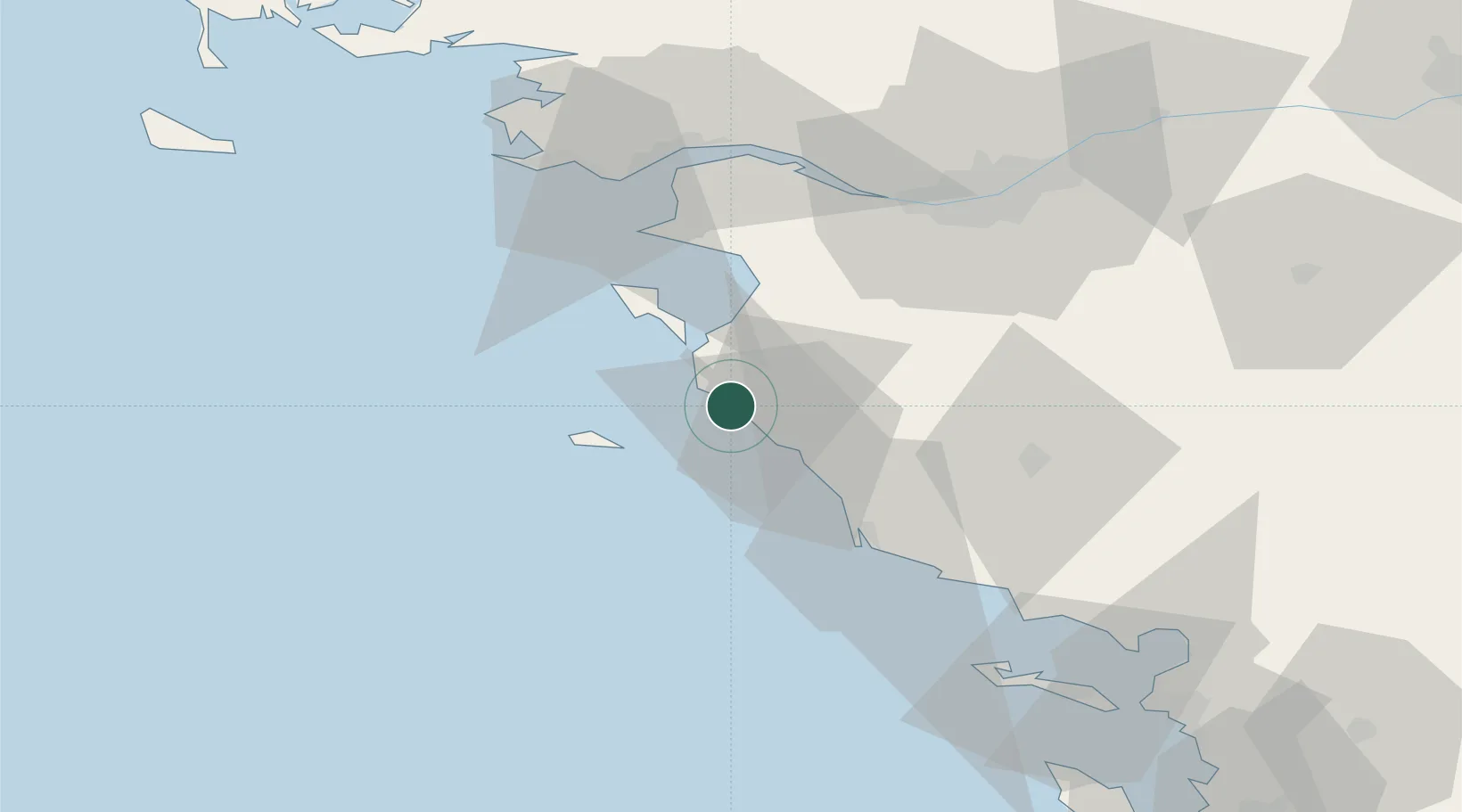
46.7833°, -2.0500°
7,414
Population
2
Transport functions
Transport Functions
Road
Multimodal
Hub Profile
Place type
Populated place
Region
Pays de la Loire
Population
7,414
Time zone
Europe/Paris
Elevation
6 m
Location
Nearby Logistics Neighbours
Cities
- 1Sallertaine10 km
- 2Saint-Hilaire-de-Riez12 km
- 3Saint-Gilles-Croix-de-Vie14 km
- 4Beauvoir-sur-Mer15 km
- 5Commequiers17 km
Ports
- 1Les Sables D' Olonne37 km
- 2St Nazaire57 km
- 3Donges58 km
- 4Montoir58 km
- 5Nantes59 km
Airports
Trade Zones
- 1ZFU Nantes et Saint-Herblain56 km
- 2ZFU Saint-Nazaire58 km
- 3ZFU La Rochelle94 km
- 4ZFU Angers135 km
- 5ZFU Le Mans211 km
DatabookThe Record of Consolidated Knowledge
France beyond logistics?