Transport Functions
Port
Multimodal
Hub Profile
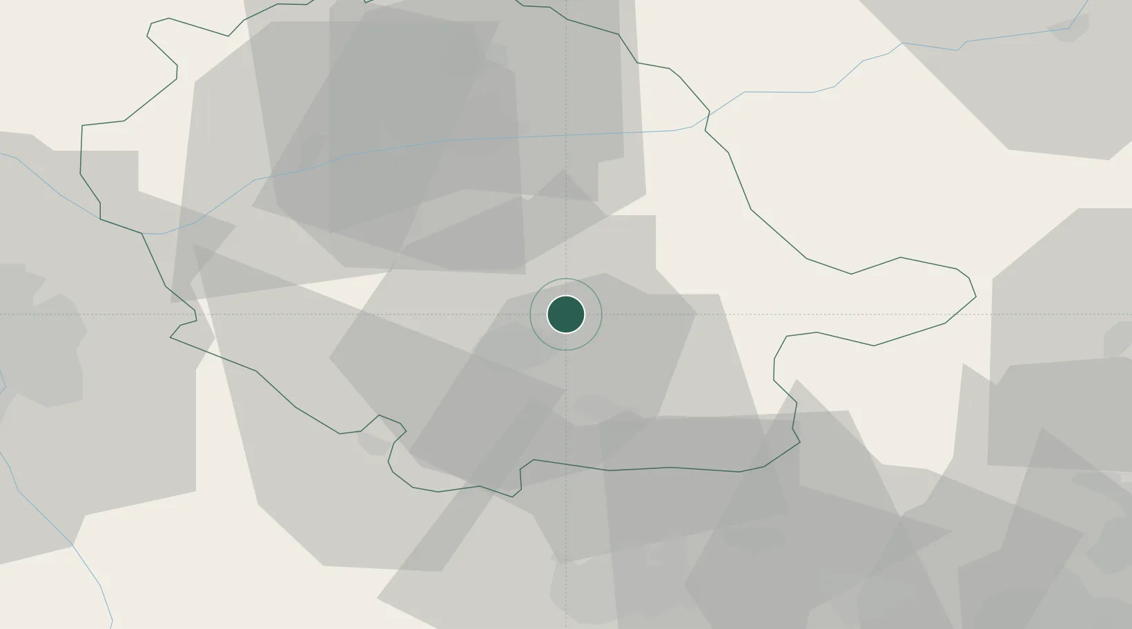
Place type
Populated place
Region
Occitanie
Population
2,310
Time zone
Europe/Paris
Elevation
226 m
Location
Nearby Logistics Neighbours
Cities
- 1Laboulbène8 km
- 2Montredon-Labessonnié8 km
- 3Castres9 km
- 4Lautrec13 km
- 5Mazamet17 km
Ports
- 1Port-La-Nouvelle95 km
- 2Sete117 km
- 3Port-Vendres144 km
- 4Rosas172 km
- 5Port Saint Louis Du Rhone205 km
Airports
Trade Zones
- 1ZFU Toulouse69 km
- 2ZFU Béziers83 km
- 3ZFU Perpignan118 km
- 4ZFU Montpellier125 km
- 5ZFU Nîmes165 km
DatabookThe Record of Consolidated Knowledge
France beyond logistics?