Transport Functions
Multimodal
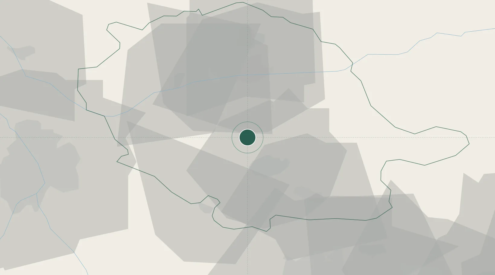
Hub Profile
Place type
Populated place
Region
Occitanie
Population
1,640
Time zone
Europe/Paris
Elevation
297 m
Location
Nearby Logistics Neighbours
Cities
- 1Laboulbène8 km
- 2Guitalens-l'Albarède11 km
- 3Roquecourbe13 km
- 4Castres15 km
- 5Montredon-Labessonnié16 km
Ports
- 1Port-La-Nouvelle108 km
- 2Sete130 km
- 3Port-Vendres155 km
- 4Rosas182 km
- 5Port Saint Louis Du Rhone218 km
Airports
Trade Zones
- 1ZFU Toulouse58 km
- 2ZFU Béziers96 km
- 3ZFU Perpignan128 km
- 4ZFU Montpellier137 km
- 5ZFU Nîmes177 km
DatabookThe Record of Consolidated Knowledge
France beyond logistics?