Transport Functions
Rail
Road
Hub Profile
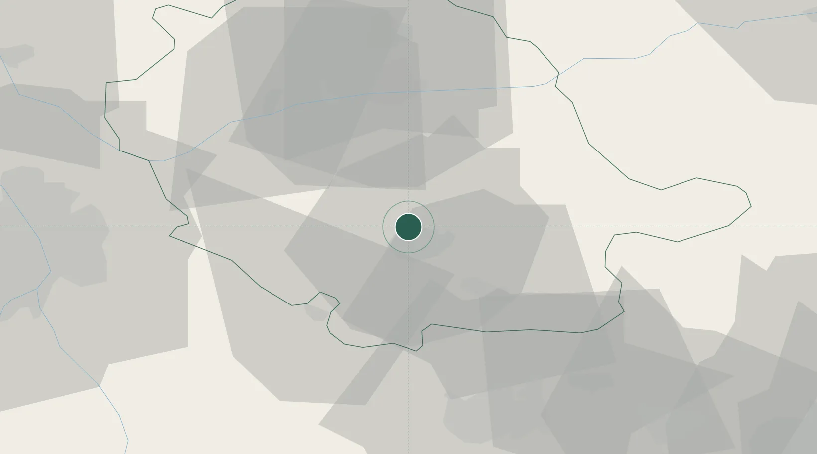
Place type
Populated place
Region
Occitanie
Population
152
Time zone
Europe/Paris
Elevation
275 m
Location
Nearby Logistics Neighbours
Cities
- 1Castres6 km
- 2Roquecourbe8 km
- 3Lautrec8 km
- 4Guitalens-l'Albarède12 km
- 5Montredon-Labessonnié15 km
Ports
- 1Port-La-Nouvelle99 km
- 2Sete124 km
- 3Port-Vendres146 km
- 4Rosas173 km
- 5Port Saint Louis Du Rhone213 km
Airports
Trade Zones
- 1ZFU Toulouse61 km
- 2ZFU Béziers89 km
- 3ZFU Perpignan120 km
- 4ZFU Montpellier133 km
- 5ZFU Nîmes173 km
DatabookThe Record of Consolidated Knowledge
France beyond logistics?