UN/LOCODE hub · France
FRLB6
Montredon-Labessonnié
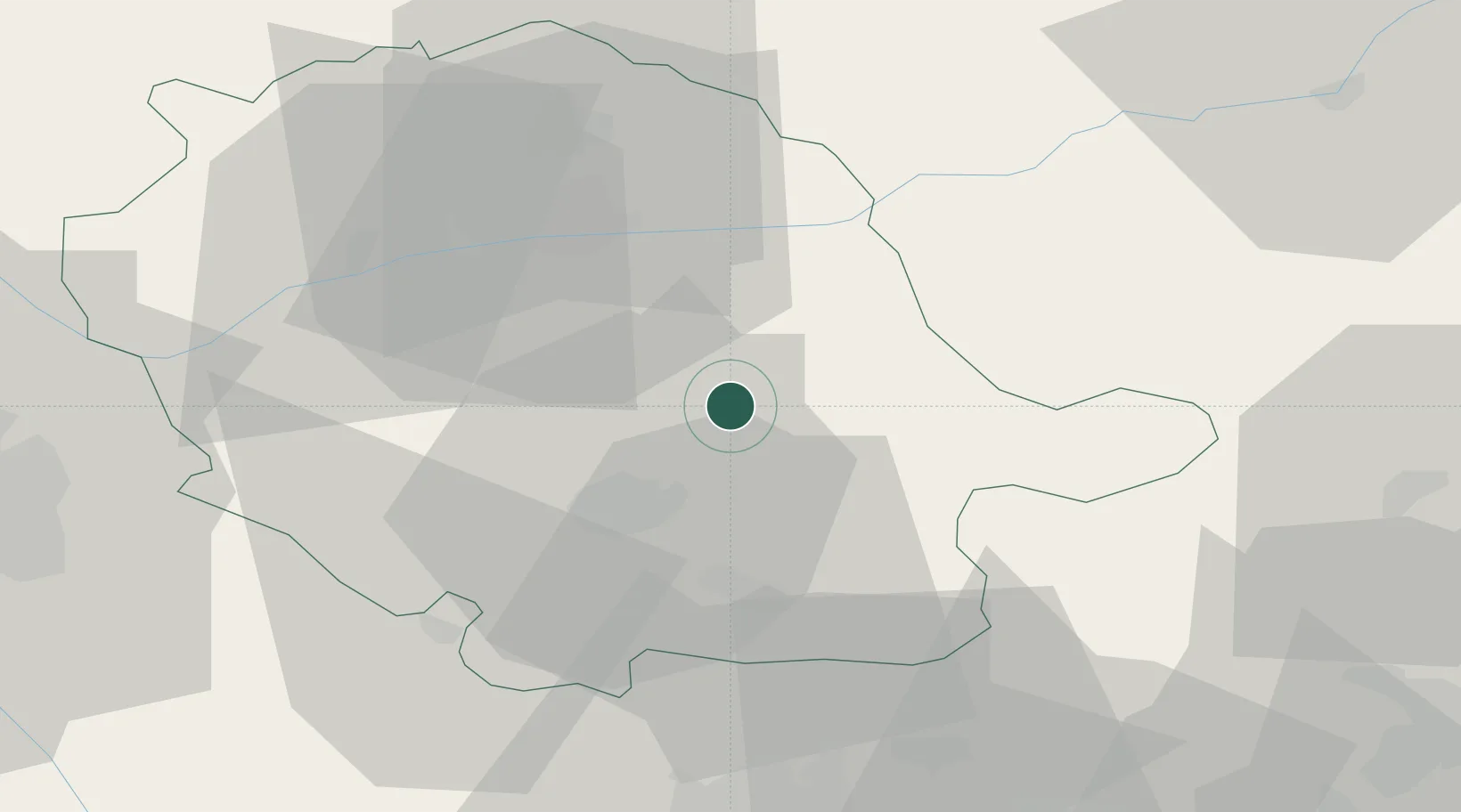
43.7333°, 2.3500°
2,137
Population
2
Transport functions
Transport Functions
Road
Multimodal
Hub Profile
Place type
Populated place
Region
Occitanie
Population
2,137
Time zone
Europe/Paris
Elevation
520 m
Location
Nearby Logistics Neighbours
Cities
- 1Roquecourbe8 km
- 2Laboulbène15 km
- 3Lautrec16 km
- 4Castres18 km
- 5Cambon23 km
Ports
- 1Port-La-Nouvelle99 km
- 2Sete115 km
- 3Port-Vendres149 km
- 4Rosas177 km
- 5Port Saint Louis Du Rhone203 km
Airports
- 1Castres Mazamet Airport20 km
- 2Albi Le Sequestre airport28 km
- 3Carcassonne Salvaza Airport58 km
- 4Rodez–Aveyron Airport76 km
- 5Toulouse-Blagnac Airport80 km
Trade Zones
- 1ZFU Toulouse74 km
- 2ZFU Béziers83 km
- 3ZFU Montpellier121 km
- 4ZFU Perpignan123 km
- 5ZFU Nîmes161 km
DatabookThe Record of Consolidated Knowledge
France beyond logistics?