Transport Functions
Rail
Road
Hub Profile
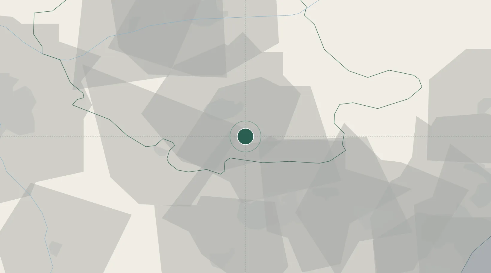
Place type
Populated place
Region
Occitanie
Population
11,479
Time zone
Europe/Paris
Elevation
255 m
Logistics facilities
2
Location
Nearby Logistics Neighbours
Cities
- 1Caucalières1 km
- 2Aiguefonde5 km
- 3Castres11 km
- 4Roquecourbe17 km
- 5Laboulbène17 km
Ports
- 1Port-La-Nouvelle83 km
- 2Sete113 km
- 3Port-Vendres130 km
- 4Rosas157 km
- 5Palamos199 km
Airports
Trade Zones
- 1ZFU Toulouse70 km
- 2ZFU Béziers76 km
- 3ZFU Perpignan103 km
- 4ZFU Montpellier125 km
- 5ZFU Nîmes168 km
DatabookThe Record of Consolidated Knowledge
France beyond logistics?