Transport Functions
Rail
Airport
Hub Profile
Place type
Provincial seat
Region
Occitanie
Population
28,337
Time zone
Europe/Paris
Elevation
627 m
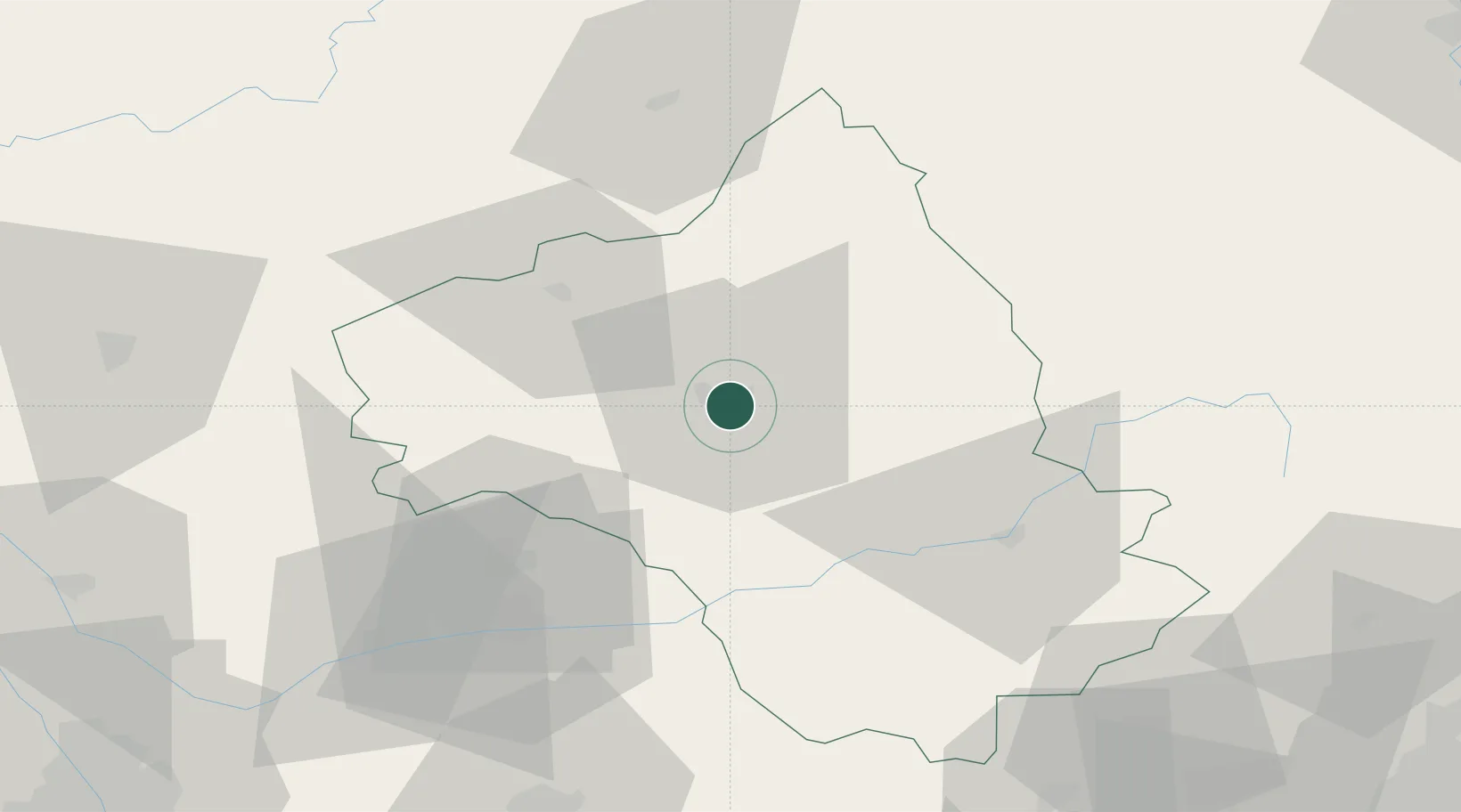
Location
Nearby Logistics Neighbours
Cities
- 1Luc5 km
- 2Clairvaux-d'Aveyron14 km
- 3Valady15 km
- 4Goutrens19 km
- 5Rignac23 km
Ports
- 1Sete139 km
- 2Port-La-Nouvelle154 km
- 3Port-Vendres209 km
- 4Port Saint Louis Du Rhone210 km
- 5Fos213 km
Airports
- 1Rodez–Aveyron Airport9 km
- 2Albi Le Sequestre airport61 km
- 3Aurillac airport61 km
- 4Mende-Brenoux Airfield79 km
- 5Cahors Lalbenque airport87 km
Trade Zones
- 1ZFU Toulouse122 km
- 2ZFU Béziers124 km
- 3ZFU Montpellier132 km
- 4ZFU Nîmes154 km
- 5ZFU Clermont-Ferrand165 km
DatabookThe Record of Consolidated Knowledge
France beyond logistics?