Transport Functions
Multimodal
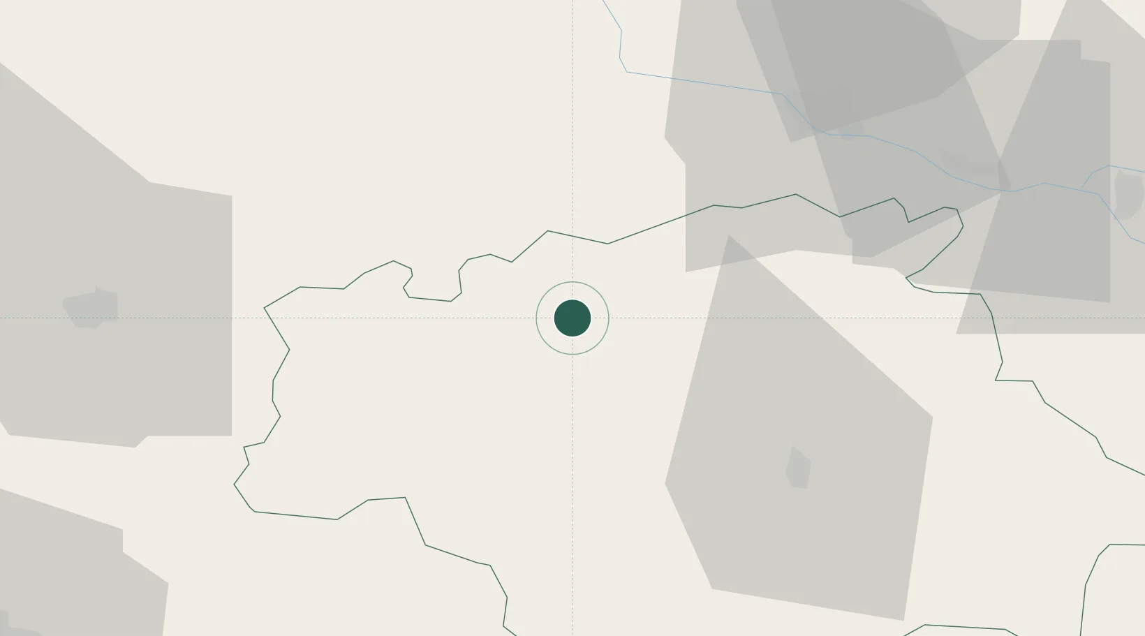
Hub Profile
Place type
Populated place
Region
Occitanie
Population
1,049
Time zone
Europe/Paris
Elevation
182 m
Location
Nearby Logistics Neighbours
Cities
- 1Lagraulet-du-Gers3 km
- 2Courrensan4 km
- 3Cassaigne6 km
- 4Castex-d'Armagnac8 km
- 5Larroque-sur-l'Osse9 km
Airports
Trade Zones
- 1ZFU Toulouse101 km
- 2ZFU Hauts de Garonne124 km
- 3Port de Bordeaux130 km
- 4Depósito Franco de Pasajes (Guipúzcoa)186 km
- 5ZFU Béziers246 km
DatabookThe Record of Consolidated Knowledge
France beyond logistics?