Transport Functions
Multimodal
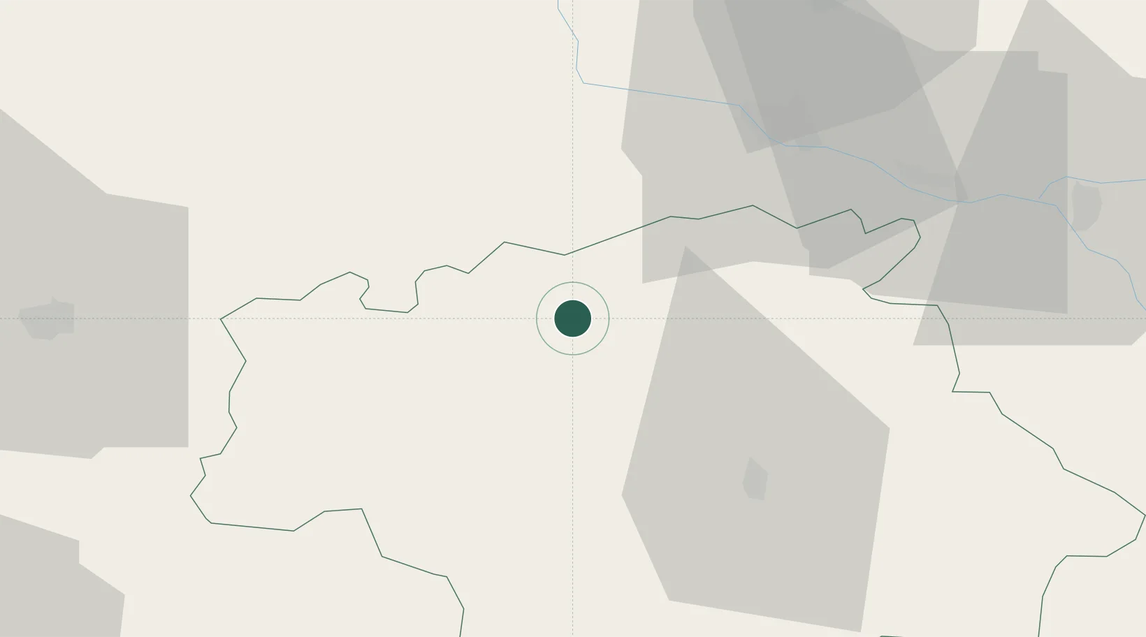
Hub Profile
Place type
Populated place
Region
Occitanie
Population
193
Time zone
Europe/Paris
Elevation
143 m
Location
Nearby Logistics Neighbours
Cities
- 1Valence-sur-Baïse6 km
- 2Gondrin6 km
- 3Courrensan8 km
- 4Lagraulet-du-Gers8 km
- 5Larroque-sur-l'Osse8 km
Airports
Trade Zones
- 1ZFU Toulouse96 km
- 2ZFU Hauts de Garonne125 km
- 3Port de Bordeaux131 km
- 4Depósito Franco de Pasajes (Guipúzcoa)191 km
- 5ZFU Béziers242 km
DatabookThe Record of Consolidated Knowledge
France beyond logistics?