Transport Functions
Multimodal
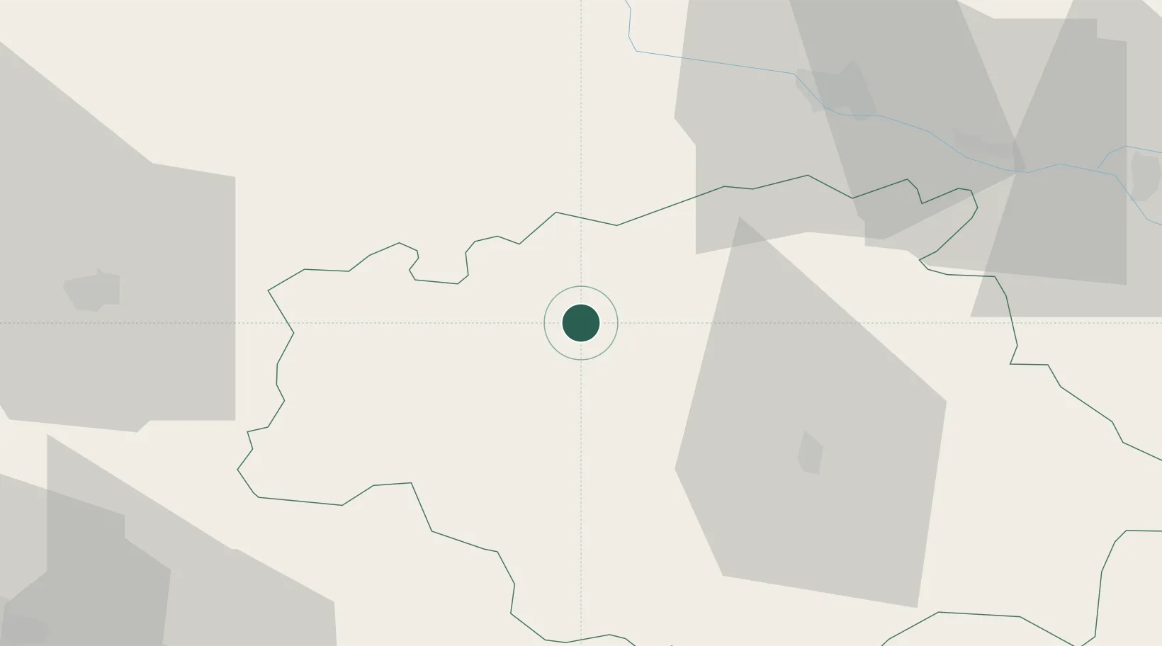
Hub Profile
Place type
Populated place
Region
Occitanie
Population
391
Time zone
Europe/Paris
Elevation
138 m
Location
Nearby Logistics Neighbours
Cities
- 1Gondrin4 km
- 2Lannepax6 km
- 3Lagraulet-du-Gers6 km
- 4Cassaigne8 km
- 5Ramouzens8 km
Airports
Trade Zones
- 1ZFU Toulouse100 km
- 2ZFU Hauts de Garonne127 km
- 3Port de Bordeaux133 km
- 4Depósito Franco de Pasajes (Guipúzcoa)185 km
- 5ZFU Béziers246 km
DatabookThe Record of Consolidated Knowledge
France beyond logistics?